Categorías en Konārak
GasolineraPartes de cocheReparación de cochesTiendas de ropaMezquitasTiendas de electrónicaTienda de hardwareEnseñanzaLas escuelas primarias y elementalesCafésPanaderíasRestaurantesTiendas de alimentación y supermercadosToda la comida y bebidaOtras reparacionesBancosCajeros AutomáticosFarmacias y drogueríasHospitalesBarberosGimnasios ApartamentosAlmacenesComprasCompras OtrosParques públicosAgencias de ViajesOtras actividades de alojamientoViajes y transporte
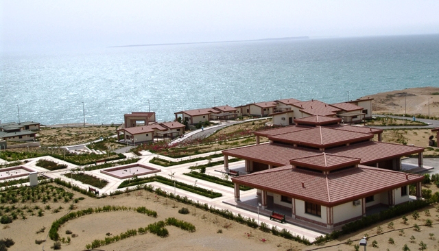
Datos de Konārak
| Hora local | |
| Zona horaria | hora estándar de Irán |
| Latitud y longitud | 25.36040, 60.39950 |
Mapa de Konārak
Mapa interactivo
Códigos de Área
Porcentaje de códigos de área que utilizan las empresas en Konārak
Terremotos cercanos recientes
Magnitud 3.0 y mayor
| Fecha▼ | Hora↕ | Magnitude↕ | Distance↕ | Profundidad↕ | Ubicación↕ | Enlace |
|---|---|---|---|---|---|---|
| 6/14/19 | 10:09 PM | 4 | 95.2 km | 16,030 m | 116km NW of Chah Bahar, Iran | usgs.gov |
| 11/30/12 | 8:08 AM | 4.4 | 63.8 km | 10,000 m | Gulf of Oman | usgs.gov |
| 3/29/12 | 7:03 PM | 4.6 | 49.2 km | 10,000 m | near the coast of southeastern Iran | usgs.gov |
| 1/30/11 | 6:29 PM | 4.1 | 50.7 km | 10,000 m | near the coast of southeastern Iran | usgs.gov |
| 8/11/08 | 12:54 PM | 4.7 | 85.1 km | 18,000 m | near the coast of southeastern Iran | usgs.gov |
| 8/10/08 | 1:40 PM | 4 | 61.3 km | 10,000 m | near the coast of southeastern Iran | usgs.gov |
| 11/24/05 | 9:26 PM | 4.2 | 18.5 km | 10,000 m | near the coast of southeastern Iran | usgs.gov |
| 11/24/05 | 9:17 PM | 4.2 | 30.4 km | 10,000 m | near the coast of southeastern Iran | usgs.gov |
| 8/3/05 | 9:40 PM | 4 | 77.9 km | 10,000 m | southeastern Iran | usgs.gov |
| 6/3/99 | 5:57 PM | 4.5 | 75.4 km | 10,000 m | Gulf of Oman | usgs.gov |
Fuente: U.S. Geological Survey (USGS)
Sobre nuestros datos
Los datos de esta página se estiman usando varias herramientas y recursos disponibles públicamente. Se proporcionan sin garantía y podrían contener imprecisiones. Úselos bajo su propio riesgo.