Datos de Negūr
| Hora local | |
| Zona horaria | hora estándar de Irán |
| Latitud y longitud | 25.38882, 61.13834 |
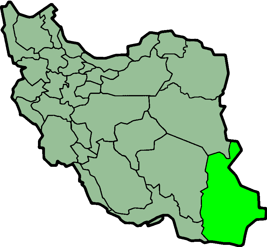
Mapa de Negūr
Mapa interactivo
Terremotos cercanos recientes
Magnitud 3.0 y mayor
| Fecha▼ | Hora↕ | Magnitude↕ | Distance↕ | Profundidad↕ | Ubicación↕ | Enlace |
|---|---|---|---|---|---|---|
| 11/30/12 | 8:08 AM | 4.4 | 62.9 km | 10,000 m | Gulf of Oman | usgs.gov |
| 3/29/12 | 7:03 PM | 4.6 | 56.7 km | 10,000 m | near the coast of southeastern Iran | usgs.gov |
| 1/30/11 | 6:29 PM | 4.1 | 55.6 km | 10,000 m | near the coast of southeastern Iran | usgs.gov |
| 10/16/08 | 10:26 AM | 3.9 | 77.9 km | 10,000 m | off the coast of Pakistan | usgs.gov |
| 11/24/05 | 9:26 PM | 4.2 | 92.8 km | 10,000 m | near the coast of southeastern Iran | usgs.gov |
| 11/24/05 | 9:17 PM | 4.2 | 84.7 km | 10,000 m | near the coast of southeastern Iran | usgs.gov |
| 8/4/01 | 2:07 PM | 4.5 | 58.7 km | 33,000 m | off the coast of Pakistan | usgs.gov |
| 6/3/99 | 5:57 PM | 4.5 | 76.6 km | 10,000 m | Gulf of Oman | usgs.gov |
| 9/18/96 | 2:36 PM | 4.8 | 71.8 km | 10,000 m | Iran-Pakistan border region | usgs.gov |
| 12/17/92 | 10:39 AM | 5.7 | 64.4 km | 33,000 m | Iran-Pakistan border region | usgs.gov |
Fuente: U.S. Geological Survey (USGS)
Sobre nuestros datos
Los datos de esta página se estiman usando varias herramientas y recursos disponibles públicamente. Se proporcionan sin garantía y podrían contener imprecisiones. Úselos bajo su propio riesgo.