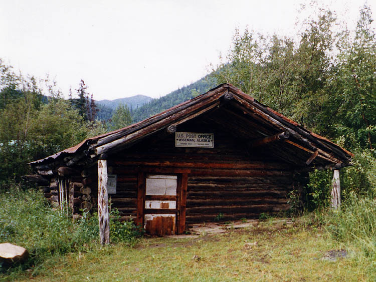
Datos de Chandalar
| Hora local | |
| Zona horaria | hora de verano de Alaska |
| Latitud y longitud | 67.50528, -148.49361 |
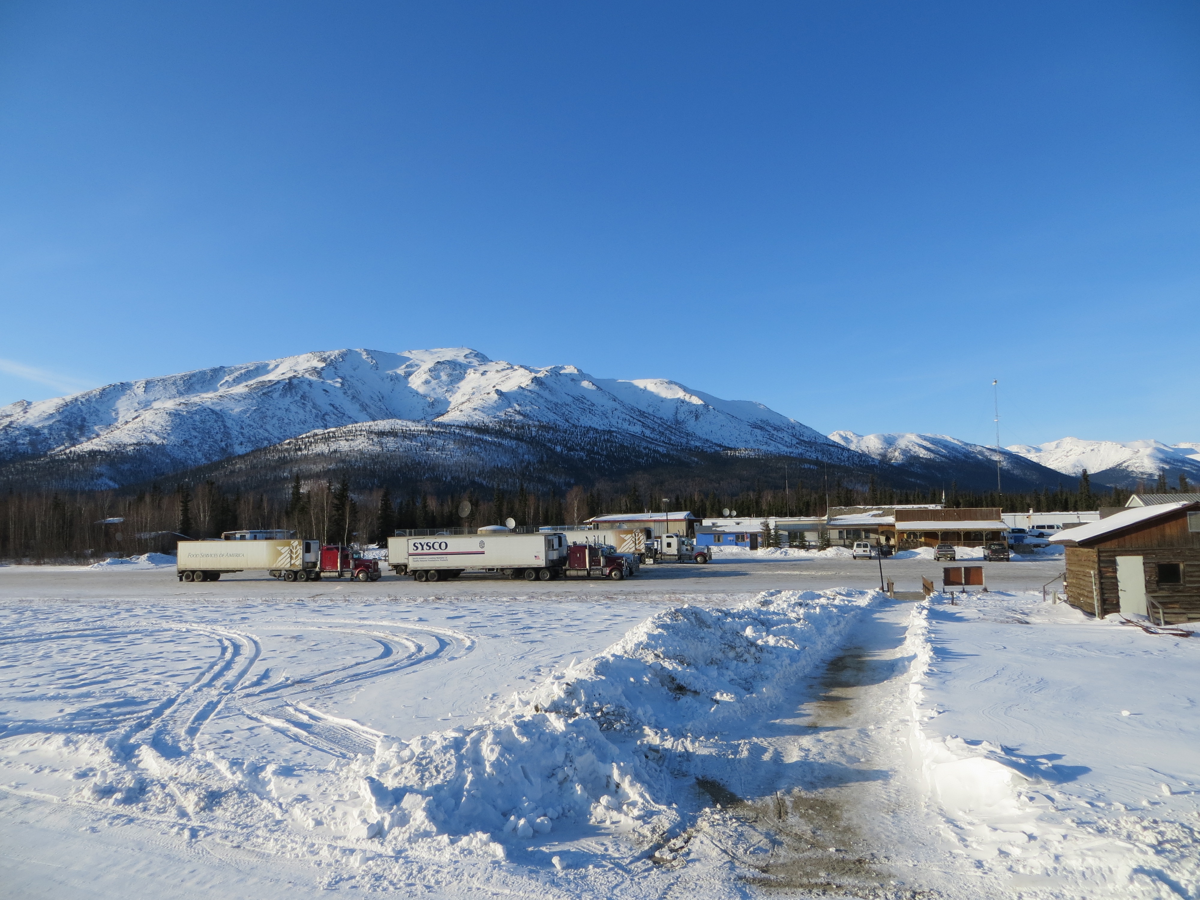
Mapa de Chandalar
Mapa interactivo
Terremotos cercanos recientes
Magnitud 3.0 y mayor
| Fecha▼ | Hora↕ | Magnitude↕ | Distance↕ | Profundidad↕ | Ubicación↕ | Enlace |
|---|---|---|---|---|---|---|
| 11/17/18 | 6:46 AM | 3.1 | 58.3 km | 15,400 m | 104km SW of Arctic Village, Alaska | usgs.gov |
| 8/6/18 | 9:11 PM | 3.7 | 68.5 km | 11,800 m | 94km SW of Arctic Village, Alaska | usgs.gov |
| 6/21/14 | 9:09 AM | 3 | 38.9 km | 12,100 m | 60km NE of Coldfoot, Alaska | usgs.gov |
| 2/10/14 | 2:44 AM | 3.9 | 67.1 km | 13,200 m | 88km SW of Arctic Village, Alaska | usgs.gov |
| 11/15/13 | 1:39 PM | 3.2 | 99.5 km | 10,000 m | 129km ENE of Anaktuvuk Pass, Alaska | usgs.gov |
| 9/11/13 | 12:49 AM | 3.5 | 39.9 km | 9,400 m | 40km NE of Coldfoot, Alaska | usgs.gov |
| 4/30/13 | 11:10 AM | 3.1 | 36.3 km | 11,200 m | 96km E of Coldfoot, Alaska | usgs.gov |
| 2/6/12 | 8:07 AM | 3.5 | 51.4 km | 17,300 m | northern Alaska | usgs.gov |
| 10/9/11 | 10:18 PM | 3.3 | 68.2 km | 10,900 m | northern Alaska | usgs.gov |
| 11/18/06 | 6:31 PM | 3.1 | 86 km | 9,700 m | northern Alaska | usgs.gov |
Fuente: U.S. Geological Survey (USGS)
Sobre nuestros datos
Los datos de esta página se estiman usando varias herramientas y recursos disponibles públicamente. Se proporcionan sin garantía y podrían contener imprecisiones. Úselos bajo su propio riesgo.