Datos de Ishaka
| Barrios | Basajabalaba trading center, Kizinda Trading Center |
| Hora local | |
| Zona horaria | hora de África oriental |
| Latitud y longitud | -0.54306, 30.13694 |
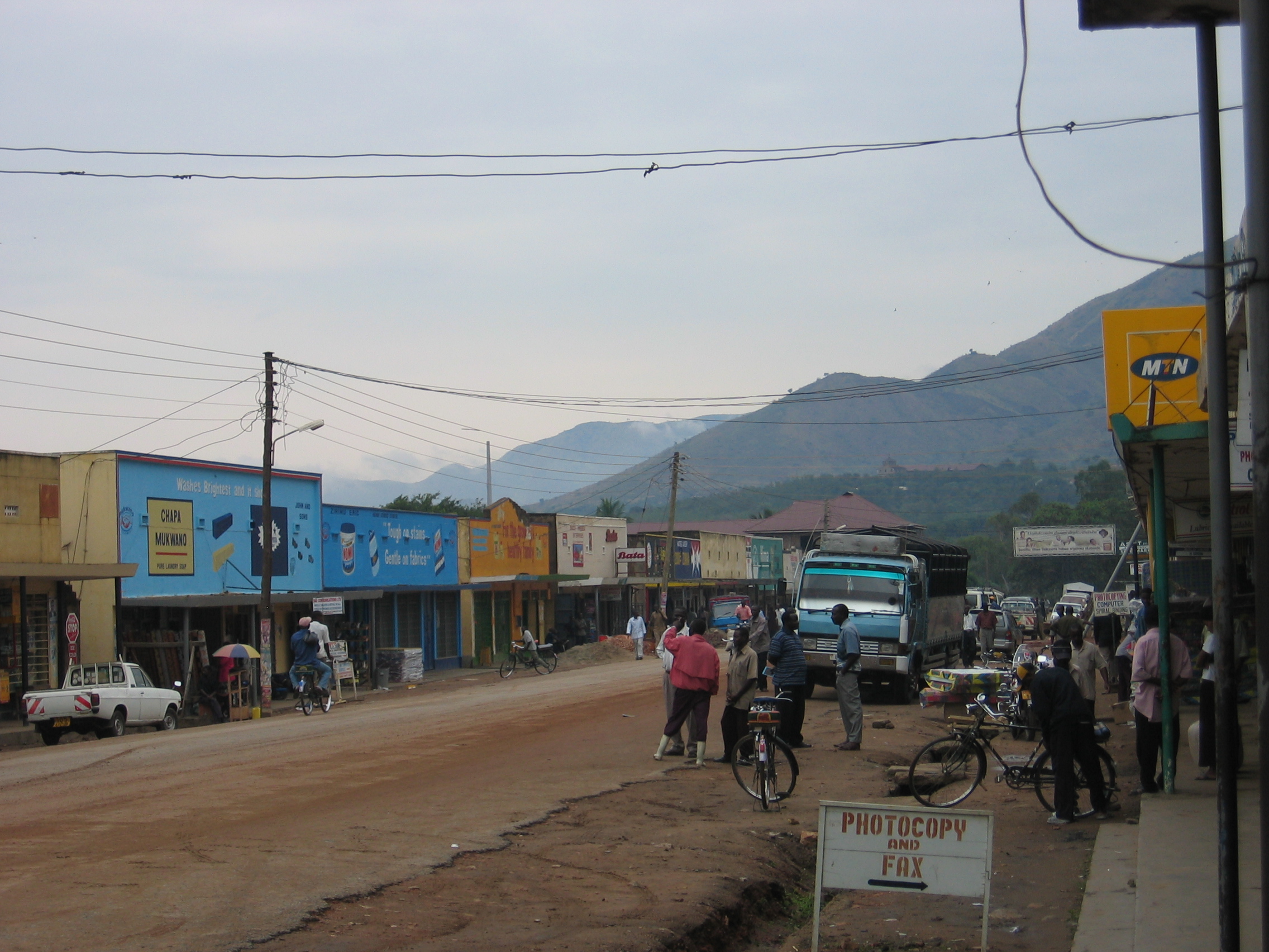
Mapa de Ishaka
Mapa interactivo
Terremotos cercanos recientes
Magnitud 3.0 y mayor
| Fecha▼ | Hora↕ | Magnitude↕ | Distance↕ | Profundidad↕ | Ubicación↕ | Enlace |
|---|---|---|---|---|---|---|
| 8/6/19 | 4:58 PM | 4.6 | 64 km | 10,000 m | 16km SSE of Kasese, Uganda | usgs.gov |
| 8/5/19 | 9:37 AM | 4.4 | 82 km | 10,000 m | 18km W of Ntungamo, Uganda | usgs.gov |
| 2/12/19 | 5:38 PM | 3.9 | 73.8 km | 10,000 m | 39km SW of Kilembe, Uganda | usgs.gov |
| 12/1/18 | 6:36 PM | 4.3 | 94.6 km | 12,750 m | 27km SE of Butembo, Democratic Republic of the Congo | usgs.gov |
| 9/2/18 | 5:52 AM | 3.8 | 70.9 km | 10,000 m | 41km NNW of Ntungamo, Uganda | usgs.gov |
| 7/30/17 | 7:02 AM | 5.3 | 53.2 km | 10,000 m | 40km WNW of Rubirizi, Uganda | usgs.gov |
| 4/10/17 | 8:17 AM | 4.5 | 53.1 km | 15,080 m | 35km WNW of Rubirizi, Uganda | usgs.gov |
| 6/11/16 | 1:05 AM | 4 | 77.4 km | 10,000 m | 39km NW of Ntungamo, Uganda | usgs.gov |
| 11/25/15 | 9:38 AM | 4.7 | 62 km | 10,000 m | 47km WNW of Rubirizi, Uganda | usgs.gov |
| 2/13/15 | 8:35 AM | 4.4 | 57.1 km | 10,000 m | 48km W of Rubirizi, Uganda | usgs.gov |
Fuente: U.S. Geological Survey (USGS)


Sobre nuestros datos
Los datos de esta página se estiman usando varias herramientas y recursos disponibles públicamente. Se proporcionan sin garantía y podrían contener imprecisiones. Úselos bajo su propio riesgo.