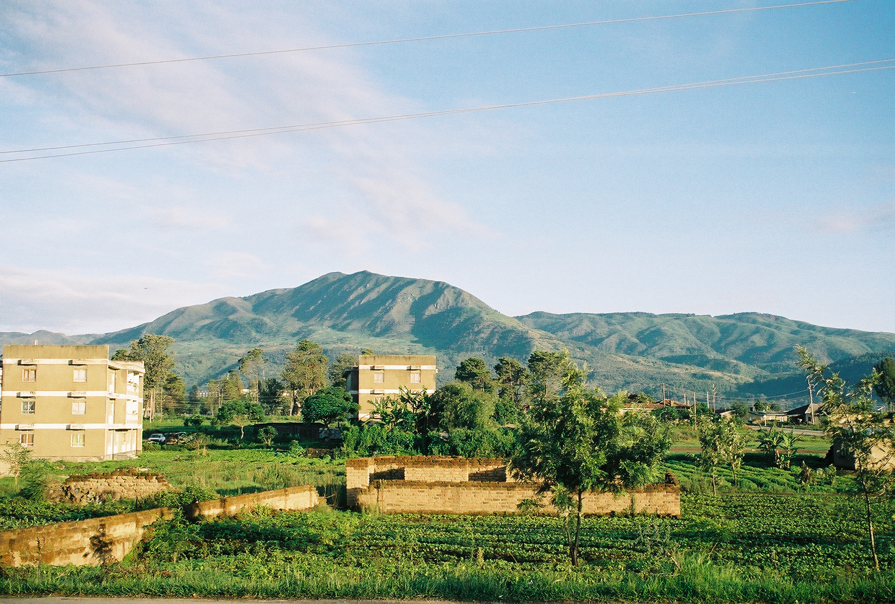
Datos de Igurusi
| Hora local | |
| Zona horaria | hora de África oriental |
| Latitud y longitud | -8.85000, 33.85000 |
Mapa de Igurusi
Mapa interactivo
Terremotos cercanos recientes
Magnitud 3.0 y mayor
| Fecha▼ | Hora↕ | Magnitude↕ | Distance↕ | Profundidad↕ | Ubicación↕ | Enlace |
|---|---|---|---|---|---|---|
| 9/25/11 | 5:50 AM | 4.1 | 60.8 km | 10,000 m | Lake Malawi region | usgs.gov |
| 10/29/10 | 10:55 PM | 4.2 | 79.9 km | 27,000 m | Malawi | usgs.gov |
| 8/17/01 | 2:10 AM | 4.6 | 83.2 km | 10,000 m | Lake Malawi region | usgs.gov |
| 4/28/00 | 6:54 PM | 4.3 | 48.2 km | 10,000 m | Lake Malawi region | usgs.gov |
| 8/2/96 | 9:49 AM | 4.1 | 74.5 km | 10,000 m | Tanzania | usgs.gov |
| 11/16/94 | 1:08 AM | 4.4 | 70.9 km | 10,000 m | Lake Malawi region | usgs.gov |
| 10/24/84 | 9:45 PM | 4.1 | 90.2 km | 10,000 m | Lake Malawi region | usgs.gov |
Fuente: U.S. Geological Survey (USGS)

Sobre nuestros datos
Los datos de esta página se estiman usando varias herramientas y recursos disponibles públicamente. Se proporcionan sin garantía y podrían contener imprecisiones. Úselos bajo su propio riesgo.