Datos de Armanáz
| Hora local | |
| Zona horaria | GMT+03:00 |
| Latitud y longitud | 36.08305, 36.50309 |
Mapa de Armanáz
Mapa interactivo
Terremotos cercanos recientes
Magnitud 3.0 y mayor
| Fecha▼ | Hora↕ | Magnitude↕ | Distance↕ | Profundidad↕ | Ubicación↕ | Enlace |
|---|---|---|---|---|---|---|
| 4/15/19 | 8:10 PM | 3 | 53.1 km | 10,000 m | 11km NW of Toygarli, Turkey | usgs.gov |
| 2/20/19 | 5:35 AM | 4 | 57.2 km | 10,000 m | 10km WSW of Samandagi, Turkey | usgs.gov |
| 2/10/15 | 4:01 AM | 4.4 | 48.1 km | 11,800 m | 3km S of Samandagi, Turkey | usgs.gov |
| 6/9/14 | 3:38 AM | 4.6 | 84 km | 17,600 m | 19km NW of Denizciler, Turkey | usgs.gov |
| 2/14/14 | 12:33 AM | 4.7 | 82.2 km | 10,000 m | 16km NW of Denizciler, Turkey | usgs.gov |
| 7/26/13 | 12:22 AM | 4 | 55.6 km | 17,400 m | 9km SW of Samandagi, Turkey | usgs.gov |
| 11/14/10 | 11:08 PM | 4.9 | 71.3 km | 2,600 m | Turkey-Syria border region | usgs.gov |
| 6/17/09 | 4:29 AM | 5 | 43.7 km | 10,400 m | Turkey-Syria border region | usgs.gov |
| 6/19/08 | 12:24 AM | 3.6 | 84.7 km | 5,000 m | central Turkey | usgs.gov |
| 5/3/08 | 3:20 AM | 4 | 64.9 km | 12,200 m | Turkey-Syria border region | usgs.gov |
Fuente: U.S. Geological Survey (USGS)
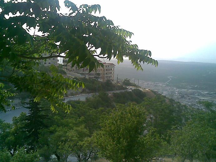
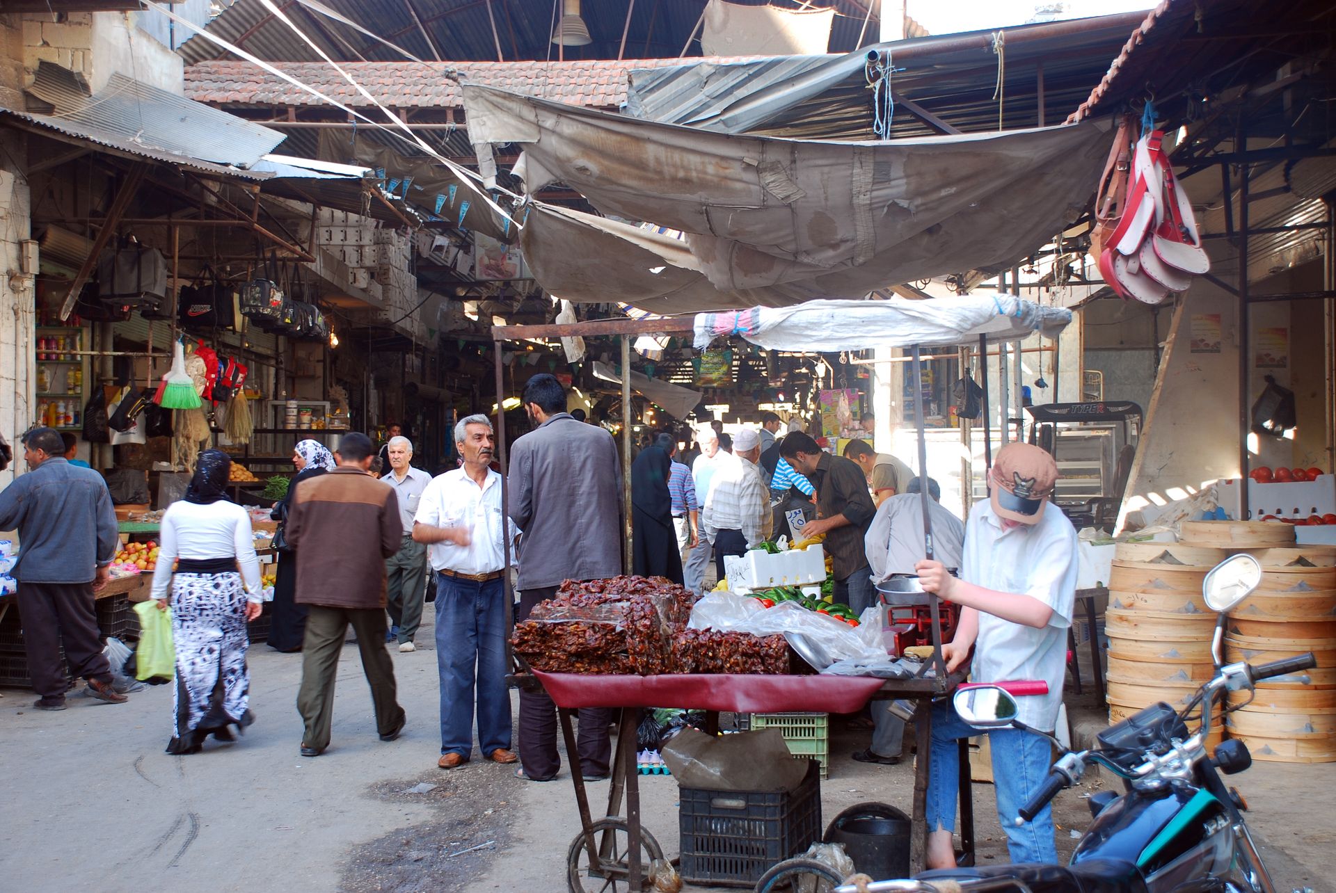
Armanáz
Armanáz (en árabe: أرمناز) es una ciudad situada en la provincia o gobernación de Idlib, en el noroeste de Siria. Es conocida por su industria manufacturera de vidrio. nombre de «Armanaz» parece tener un origen presemita. En tiempos de la dinastía a..
Página de Wikipedia de Armanáz

Sobre nuestros datos
Los datos de esta página se estiman usando varias herramientas y recursos disponibles públicamente. Se proporcionan sin garantía y podrían contener imprecisiones. Úselos bajo su propio riesgo.