Datos de Nzega
| Hora local | |
| Zona horaria | hora de África central |
| Latitud y longitud | -2.47900, 29.55640 |
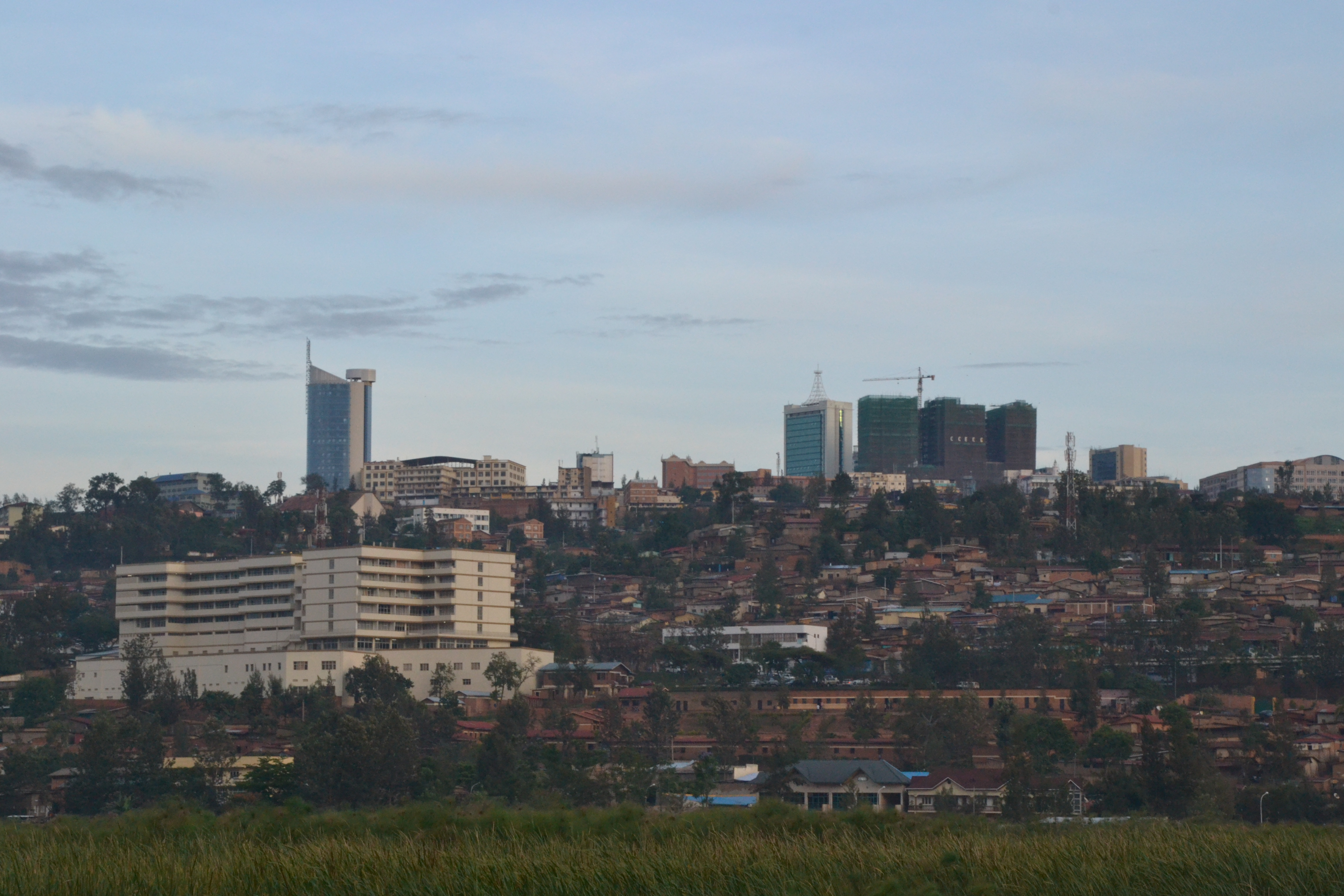
Mapa de Nzega
Mapa interactivo
Terremotos cercanos recientes
Magnitud 3.0 y mayor
| Fecha▼ | Hora↕ | Magnitude↕ | Distance↕ | Profundidad↕ | Ubicación↕ | Enlace |
|---|---|---|---|---|---|---|
| 9/2/18 | 11:55 PM | 4.3 | 58.4 km | 10,000 m | 11km NE of Bubanza, Burundi | usgs.gov |
| 12/5/17 | 12:22 AM | 4.6 | 68.5 km | 10,000 m | 20km SE of Bukavu, Democratic Republic of the Congo | usgs.gov |
| 11/30/17 | 9:48 PM | 5 | 95.7 km | 10,000 m | 20km SW of Bukavu, Democratic Republic of the Congo | usgs.gov |
| 9/15/17 | 5:45 PM | 5 | 87.7 km | 12,230 m | 24km SSW of Bukavu, Democratic Republic of the Congo | usgs.gov |
| 10/24/16 | 11:30 PM | 4.7 | 61.1 km | 10,000 m | 18km SE of Cyangugu, Rwanda | usgs.gov |
| 9/23/16 | 4:11 PM | 4.8 | 58.4 km | 10,000 m | 24km SE of Cyangugu, Rwanda | usgs.gov |
| 9/23/16 | 3:07 PM | 4.5 | 66.4 km | 10,000 m | 21km SSE of Cyangugu, Rwanda | usgs.gov |
| 8/7/15 | 1:50 AM | 4.3 | 81.8 km | 10,000 m | 21km N of Kabare, Democratic Republic of the Congo | usgs.gov |
| 8/7/15 | 1:28 AM | 5.5 | 79.8 km | 10,000 m | 43km N of Cyangugu, Rwanda | usgs.gov |
| 8/7/15 | 1:25 AM | 5.8 | 82.3 km | 11,000 m | 37km N of Cyangugu, Rwanda | usgs.gov |
Fuente: U.S. Geological Survey (USGS)

Sobre nuestros datos
Los datos de esta página se estiman usando varias herramientas y recursos disponibles públicamente. Se proporcionan sin garantía y podrían contener imprecisiones. Úselos bajo su propio riesgo.