Datos de Toko
| Hora local | |
| Zona horaria | hora estándar de Nueva Zelanda |
| Latitud y longitud | -39.33333, 174.40000 |
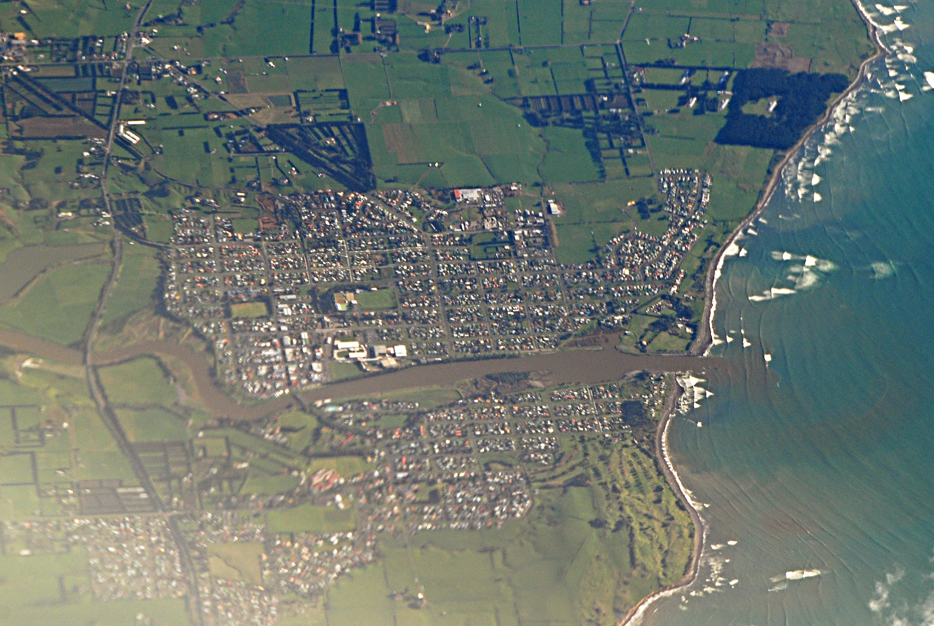
Mapa de Toko
Mapa interactivo
Terremotos cercanos recientes
Magnitud 3.0 y mayor
| Fecha▼ | Hora↕ | Magnitude↕ | Distance↕ | Profundidad↕ | Ubicación↕ | Enlace |
|---|---|---|---|---|---|---|
| 6/5/19 | 4:26 AM | 4.1 | 27.7 km | 253,660 m | 11km NW of Hawera, New Zealand | usgs.gov |
| 5/19/18 | 10:40 PM | 4.5 | 26.3 km | 206,980 m | 4km NE of Hawera, New Zealand | usgs.gov |
| 4/14/16 | 10:43 PM | 4.4 | 31.5 km | 174,670 m | 40km E of Eltham, New Zealand | usgs.gov |
| 7/4/13 | 4:07 PM | 4.3 | 41.5 km | 114,300 m | North Island of New Zealand | usgs.gov |
| 3/5/12 | 7:36 PM | 4.2 | 30.2 km | 226,800 m | North Island of New Zealand | usgs.gov |
| 2/19/12 | 8:07 AM | 5 | 24.4 km | 325,400 m | North Island of New Zealand | usgs.gov |
| 2/11/12 | 12:50 PM | 4 | 34.5 km | 141,700 m | North Island of New Zealand | usgs.gov |
| 1/5/12 | 11:50 PM | 4.1 | 28.6 km | 32,000 m | North Island of New Zealand | usgs.gov |
| 11/4/11 | 8:23 AM | 4.1 | 12.5 km | 264,000 m | North Island of New Zealand | usgs.gov |
| 8/1/11 | 2:39 PM | 4.2 | 11 km | 271,300 m | North Island of New Zealand | usgs.gov |
Fuente: U.S. Geological Survey (USGS)


Sobre nuestros datos
Los datos de esta página se estiman usando varias herramientas y recursos disponibles públicamente. Se proporcionan sin garantía y podrían contener imprecisiones. Úselos bajo su propio riesgo.