Datos de Saint Bathans
| Hora local | |
| Zona horaria | hora estándar de Nueva Zelanda |
| Latitud y longitud | -44.86667, 169.81667 |
| Códigos Postales | 9386 |
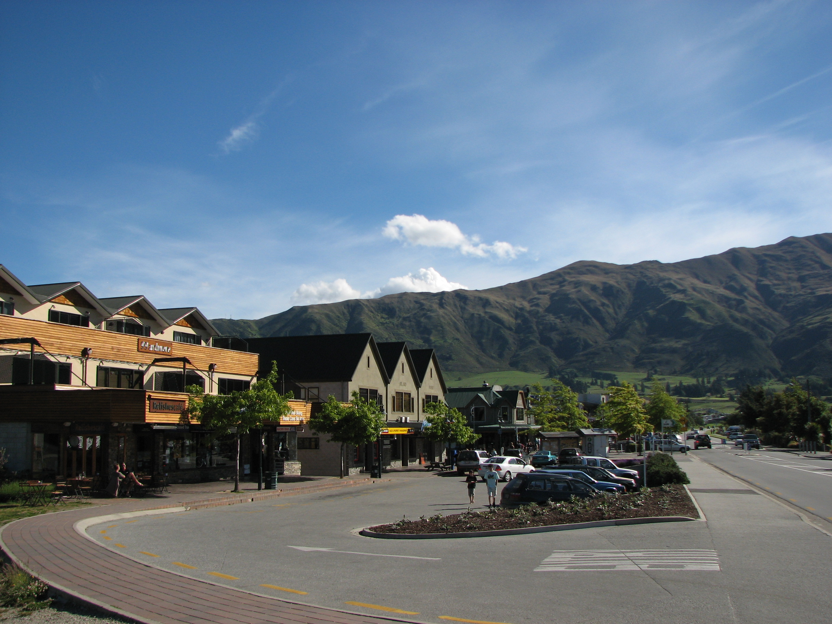
Mapa de Saint Bathans
Mapa interactivo
Terremotos cercanos recientes
Magnitud 3.0 y mayor
| Fecha▼ | Hora↕ | Magnitude↕ | Distance↕ | Profundidad↕ | Ubicación↕ | Enlace |
|---|---|---|---|---|---|---|
| 7/10/18 | 10:23 AM | 3.6 | 97.8 km | 10,150 m | 74km WNW of Pleasant Point, New Zealand | usgs.gov |
| 7/1/17 | 11:21 PM | 4.1 | 46.4 km | 5,460 m | 34km SSE of Wanaka, New Zealand | usgs.gov |
| 11/11/15 | 8:03 PM | 4.4 | 86 km | 19,720 m | 72km NNE of Wanaka, New Zealand | usgs.gov |
| 10/26/15 | 10:14 PM | 4.3 | 83.8 km | 3,000 m | 29km NW of Wanaka, New Zealand | usgs.gov |
| 7/6/15 | 5:45 AM | 5.1 | 53.5 km | 10,000 m | 56km NE of Wanaka, New Zealand | usgs.gov |
| 6/1/15 | 11:18 AM | 4.3 | 99 km | 8,990 m | 33km WNW of Dunedin, New Zealand | usgs.gov |
| 5/4/15 | 2:29 AM | 5.6 | 83.3 km | 10,000 m | 28km NW of Wanaka, New Zealand | usgs.gov |
| 8/3/14 | 10:09 AM | 4.2 | 56.1 km | 40,000 m | 52km NE of Wanaka, New Zealand | usgs.gov |
| 12/11/13 | 11:59 PM | 4.3 | 93.8 km | 6,563 m | 77km NNE of Wanaka, New Zealand | usgs.gov |
| 10/7/13 | 9:48 AM | 4.2 | 79.7 km | 9,922 m | 88km W of Pleasant Point, New Zealand | usgs.gov |
Fuente: U.S. Geological Survey (USGS)


Sobre nuestros datos
Los datos de esta página se estiman usando varias herramientas y recursos disponibles públicamente. Se proporcionan sin garantía y podrían contener imprecisiones. Úselos bajo su propio riesgo.