Datos de Rotowaro
| Hora local | |
| Zona horaria | hora estándar de Nueva Zelanda |
| Latitud y longitud | -37.60000, 175.08333 |
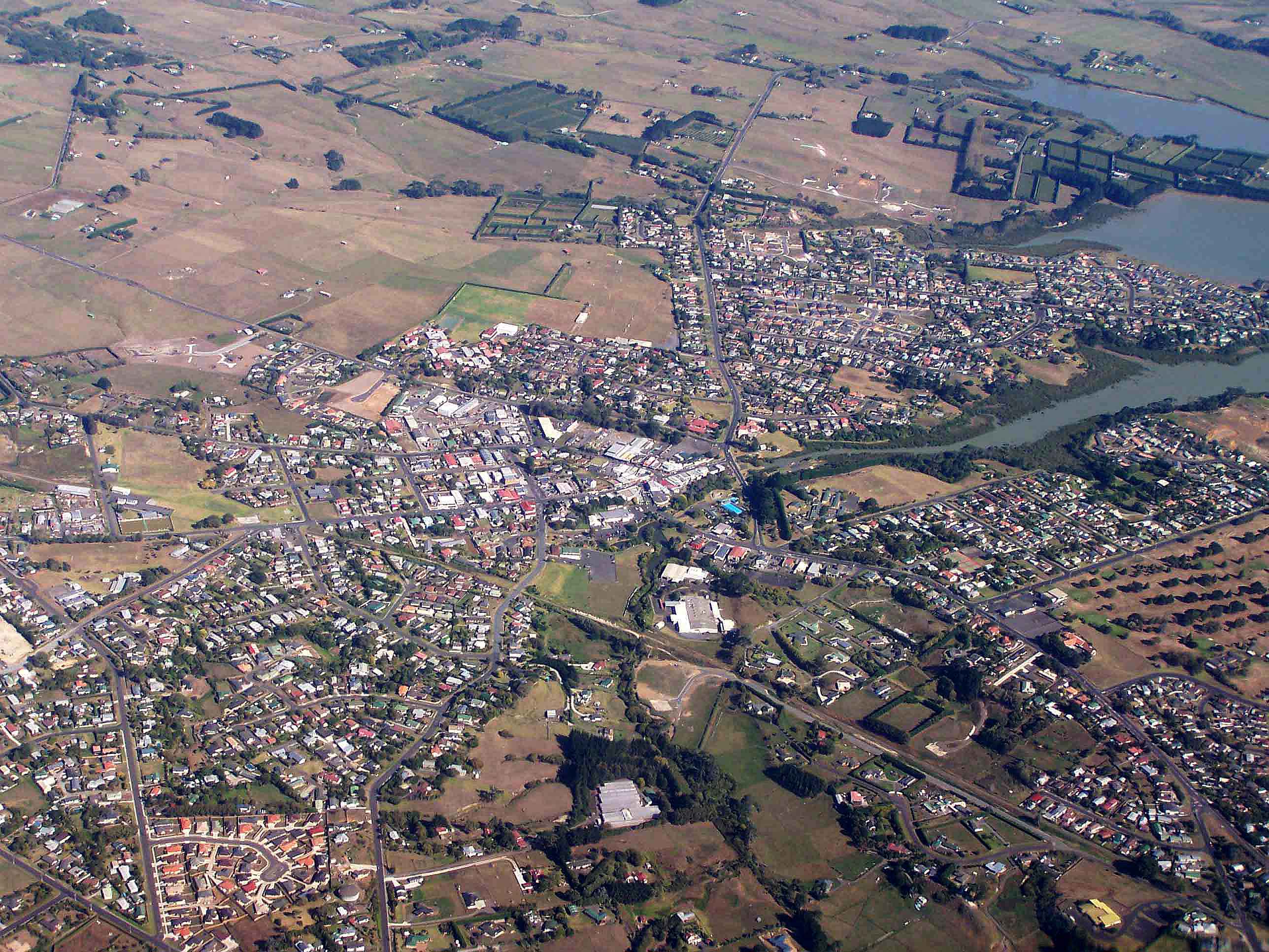
Mapa de Rotowaro
Mapa interactivo
Terremotos cercanos recientes
Magnitud 3.0 y mayor
| Fecha▼ | Hora↕ | Magnitude↕ | Distance↕ | Profundidad↕ | Ubicación↕ | Enlace |
|---|---|---|---|---|---|---|
| 11/6/14 | 2:43 PM | 3.9 | 58.1 km | 6,000 m | 7km NW of Matamata, New Zealand | usgs.gov |
| 3/13/14 | 2:48 AM | 3.7 | 83 km | 311,610 m | 20km N of Tokoroa, New Zealand | usgs.gov |
| 4/6/12 | 1:52 AM | 4.6 | 91 km | 207,900 m | North Island of New Zealand | usgs.gov |
| 3/26/12 | 3:48 PM | 4.3 | 93.3 km | 189,300 m | North Island of New Zealand | usgs.gov |
| 12/15/11 | 1:55 AM | 4.3 | 72.3 km | 248,200 m | North Island of New Zealand | usgs.gov |
| 6/17/11 | 3:33 AM | 4 | 93 km | 173,500 m | North Island of New Zealand | usgs.gov |
| 5/21/11 | 4:01 PM | 4 | 81.9 km | 274,300 m | North Island of New Zealand | usgs.gov |
| 5/3/11 | 3:52 AM | 4 | 78.8 km | 243,500 m | North Island of New Zealand | usgs.gov |
| 2/20/11 | 8:33 AM | 4 | 77.8 km | 221,500 m | North Island of New Zealand | usgs.gov |
| 2/9/11 | 11:12 PM | 4.2 | 77.9 km | 258,399 m | North Island of New Zealand | usgs.gov |
Fuente: U.S. Geological Survey (USGS)


Sobre nuestros datos
Los datos de esta página se estiman usando varias herramientas y recursos disponibles públicamente. Se proporcionan sin garantía y podrían contener imprecisiones. Úselos bajo su propio riesgo.