Datos de Makaraka
| Barrios | Makaraka |
| Hora local | |
| Zona horaria | hora estándar de Nueva Zelanda |
| Latitud y longitud | -38.65000, 177.96667 |
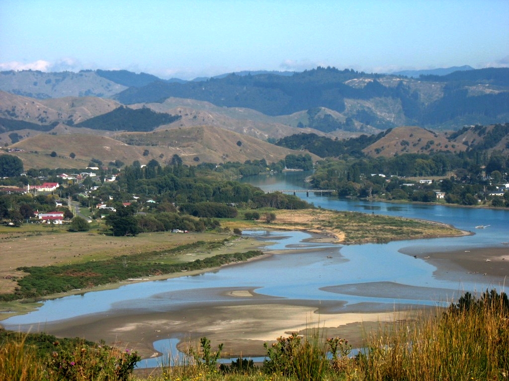
Mapa de Makaraka
Mapa interactivo
Terremotos cercanos recientes
Magnitud 3.0 y mayor
| Fecha▼ | Hora↕ | Magnitude↕ | Distance↕ | Profundidad↕ | Ubicación↕ | Enlace |
|---|---|---|---|---|---|---|
| 8/5/17 | 10:06 PM | 4.3 | 34.5 km | 70,480 m | 37km W of Gisborne, New Zealand | usgs.gov |
| 4/19/17 | 3:08 AM | 5 | 7.1 km | 28,870 m | 8km SW of Gisborne, New Zealand | usgs.gov |
| 11/26/16 | 7:21 AM | 5 | 39.5 km | 18,550 m | 27km NE of Wairoa, New Zealand | usgs.gov |
| 3/5/16 | 11:48 AM | 4.2 | 32.9 km | 36,520 m | 32km NNE of Gisborne, New Zealand | usgs.gov |
| 10/22/15 | 4:04 PM | 4.8 | 33.3 km | 10,760 m | 31km NE of Gisborne, New Zealand | usgs.gov |
| 2/6/15 | 7:15 AM | 4 | 29.4 km | 29,000 m | 29km N of Gisborne, New Zealand | usgs.gov |
| 2/5/15 | 11:02 PM | 4.3 | 19.2 km | 4,920 m | 18km S of Gisborne, New Zealand | usgs.gov |
| 12/19/14 | 12:51 PM | 5.1 | 32.1 km | 34,620 m | 31km N of Gisborne, New Zealand | usgs.gov |
| 10/22/12 | 12:46 PM | 4.3 | 35.1 km | 10,000 m | off the east coast of the North Island of New Zealand | usgs.gov |
| 7/13/12 | 7:53 PM | 4.1 | 13.8 km | 30,300 m | North Island of New Zealand | usgs.gov |
Fuente: U.S. Geological Survey (USGS)


Sobre nuestros datos
Los datos de esta página se estiman usando varias herramientas y recursos disponibles públicamente. Se proporcionan sin garantía y podrían contener imprecisiones. Úselos bajo su propio riesgo.