Categorías en Koromiko
Datos de Koromiko
| Barrios | Rd 3 |
| Hora local | |
| Zona horaria | hora estándar de Nueva Zelanda |
| Latitud y longitud | -41.35000, 173.95000 |
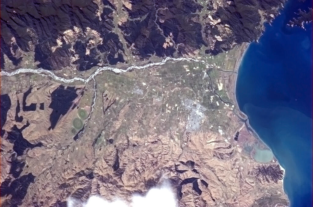
Mapa de Koromiko
Mapa interactivo
Terremotos cercanos recientes
Magnitud 3.0 y mayor
| Fecha▼ | Hora↕ | Magnitude↕ | Distance↕ | Profundidad↕ | Ubicación↕ | Enlace |
|---|---|---|---|---|---|---|
| 5/6/17 | 7:53 AM | 4.2 | 10.2 km | 49,920 m | 11km NNW of Blenheim, New Zealand | usgs.gov |
| 11/14/16 | 11:11 AM | 4.1 | 37.6 km | 10,780 m | 22km SE of Blenheim, New Zealand | usgs.gov |
| 11/13/16 | 1:09 PM | 4.1 | 38.9 km | 10,040 m | 23km SE of Blenheim, New Zealand | usgs.gov |
| 11/13/16 | 12:36 PM | 5.1 | 9.6 km | 20,670 m | 9km N of Blenheim, New Zealand | usgs.gov |
| 7/4/16 | 12:45 AM | 4.1 | 40.2 km | 15,090 m | 21km S of Blenheim, New Zealand | usgs.gov |
| 5/15/15 | 5:34 AM | 4.2 | 40.7 km | 9,790 m | 23km SSE of Blenheim, New Zealand | usgs.gov |
| 5/5/15 | 11:34 AM | 4.4 | 16.6 km | 69,210 m | 22km WSW of Picton, New Zealand | usgs.gov |
| 7/20/14 | 9:22 AM | 4.3 | 39.3 km | 59,000 m | 31km NNE of Picton, New Zealand | usgs.gov |
| 1/15/14 | 7:37 AM | 4.1 | 38.2 km | 20,760 m | 20km SSE of Blenheim, New Zealand | usgs.gov |
| 12/6/13 | 12:45 AM | 4.7 | 38.9 km | 21,100 m | 20km SSE of Blenheim, New Zealand | usgs.gov |
Fuente: U.S. Geological Survey (USGS)


Sobre nuestros datos
Los datos de esta página se estiman usando varias herramientas y recursos disponibles públicamente. Se proporcionan sin garantía y podrían contener imprecisiones. Úselos bajo su propio riesgo.