Datos de Kenmure
| Barrios | Bradford |
| Hora local | |
| Zona horaria | hora estándar de Nueva Zelanda |
| Latitud y longitud | -45.87838, 170.46010 |
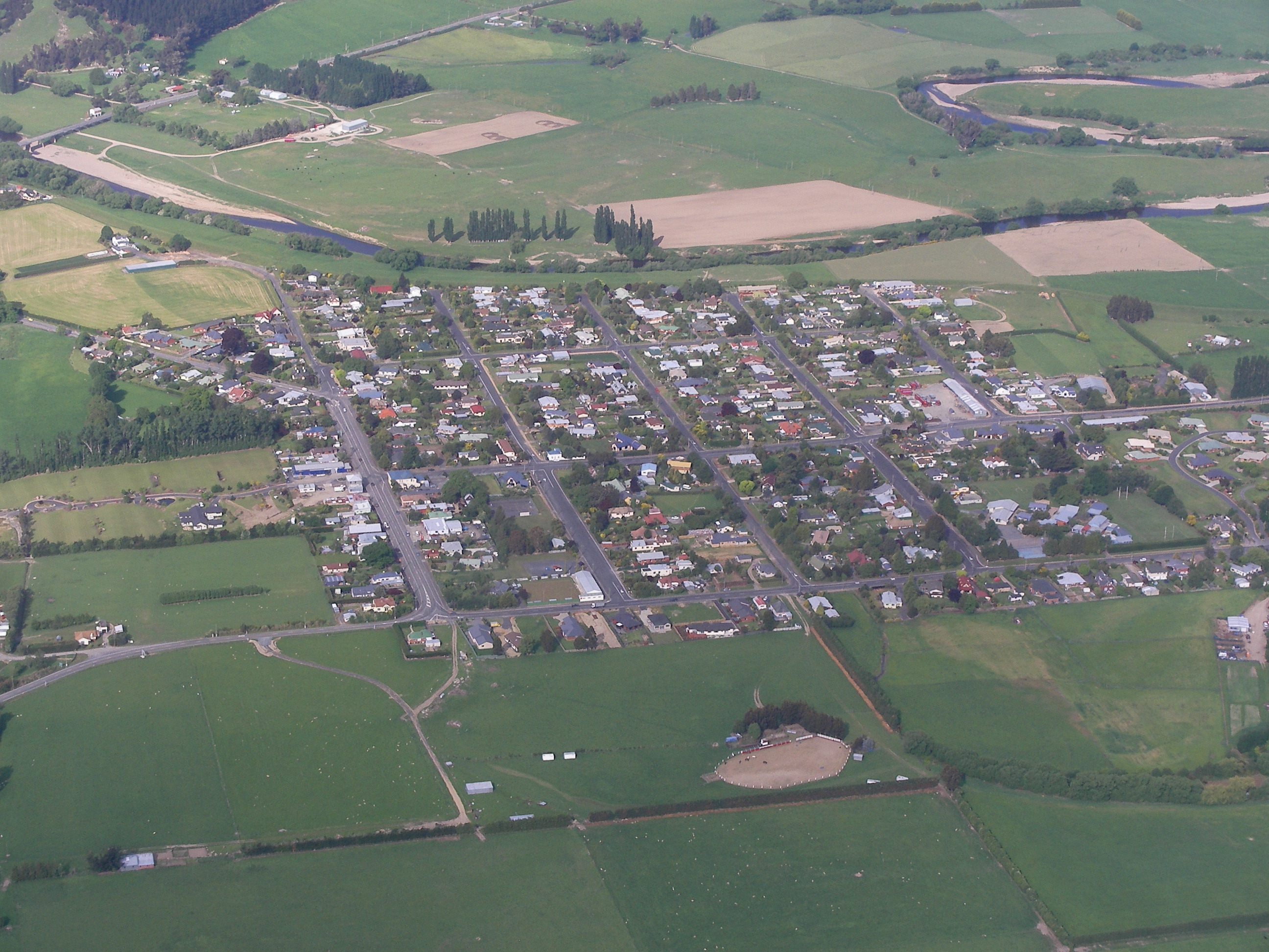
Mapa de Kenmure
Mapa interactivo
Terremotos cercanos recientes
Magnitud 3.0 y mayor
| Fecha▼ | Hora↕ | Magnitude↕ | Distance↕ | Profundidad↕ | Ubicación↕ | Enlace |
|---|---|---|---|---|---|---|
| 6/1/15 | 11:18 AM | 4.3 | 30.9 km | 8,990 m | 33km WNW of Dunedin, New Zealand | usgs.gov |
| 10/16/14 | 5:44 AM | 4.1 | 26.9 km | 4,000 m | 29km WNW of Dunedin, New Zealand | usgs.gov |
| 2/6/11 | 12:52 AM | 4.1 | 99.4 km | 12,000 m | South Island of New Zealand | usgs.gov |
| 12/17/07 | 9:05 AM | 4.2 | 40.8 km | 12,000 m | off the east coast of the South Island of New Zealand | usgs.gov |
| 2/24/06 | 11:03 PM | 3.7 | 57.7 km | 12,000 m | off the east coast of the South Island of New Zealand | usgs.gov |
| 12/24/04 | 8:44 AM | 3.9 | 79.7 km | 12,000 m | South Island of New Zealand | usgs.gov |
| 2/11/04 | 12:31 AM | 4.5 | 75.8 km | 12,000 m | South Island of New Zealand | usgs.gov |
| 6/30/03 | 4:23 PM | 3.8 | 76.3 km | 21,000 m | South Island of New Zealand | usgs.gov |
| 10/21/00 | 1:57 PM | 4 | 97.5 km | 12,000 m | off the east coast of the South Island of New Zealand | usgs.gov |
| 10/12/00 | 8:40 AM | 4.5 | 94.9 km | 31,000 m | South Island of New Zealand | usgs.gov |
Fuente: U.S. Geological Survey (USGS)


Sobre nuestros datos
Los datos de esta página se estiman usando varias herramientas y recursos disponibles públicamente. Se proporcionan sin garantía y podrían contener imprecisiones. Úselos bajo su propio riesgo.