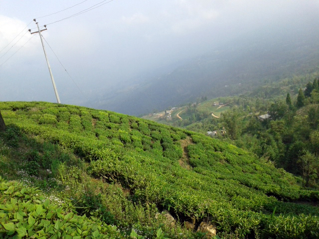
Datos de Sumbek
| Hora local | |
| Zona horaria | hora de Nepal |
| Latitud y longitud | 26.98167, 87.94904 |
Mapa de Sumbek
Mapa interactivo
Terremotos cercanos recientes
Magnitud 3.0 y mayor
| Fecha▼ | Hora↕ | Magnitude↕ | Distance↕ | Profundidad↕ | Ubicación↕ | Enlace |
|---|---|---|---|---|---|---|
| 1/16/19 | 11:56 PM | 3.8 | 95 km | 10,000 m | 27km NW of Samtse, Bhutan | usgs.gov |
| 6/20/18 | 4:15 AM | 4.4 | 23.1 km | 52,910 m | 29km NNW of Ilam, Nepal | usgs.gov |
| 6/20/18 | 4:08 AM | 4.4 | 44.1 km | 38,300 m | 17km E of Dhankuta, Nepal | usgs.gov |
| 6/17/18 | 3:07 PM | 4.4 | 71.2 km | 49,760 m | 12km SSW of Mangan, India | usgs.gov |
| 12/2/17 | 11:43 PM | 4.2 | 36.1 km | 10,000 m | 24km NW of Naya Bazar, India | usgs.gov |
| 5/16/17 | 10:13 PM | 4.2 | 44.1 km | 10,000 m | 23km NNW of Naya Bazar, India | usgs.gov |
| 3/26/17 | 9:42 PM | 4.5 | 62.5 km | 24,390 m | 5km SSE of Rangpo, India | usgs.gov |
| 10/10/15 | 1:48 AM | 4.3 | 89.7 km | 48,220 m | 20km ESE of Gangtok, India | usgs.gov |
| 8/15/15 | 5:42 AM | 4.4 | 44.6 km | 10,000 m | 48km WNW of Naya Bazar, India | usgs.gov |
| 4/27/15 | 12:35 PM | 5.1 | 16.7 km | 31,710 m | 13km ESE of Ilam, Nepal | usgs.gov |
Fuente: U.S. Geological Survey (USGS)
Sobre nuestros datos
Los datos de esta página se estiman usando varias herramientas y recursos disponibles públicamente. Se proporcionan sin garantía y podrían contener imprecisiones. Úselos bajo su propio riesgo.