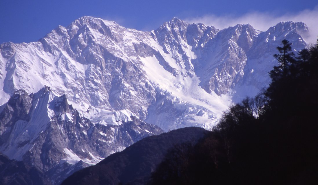
Datos de Barun Bajar
| Hora local | |
| Zona horaria | hora de Nepal |
| Latitud y longitud | 27.69204, 87.37337 |
Mapa de Barun Bajar
Mapa interactivo
Terremotos cercanos recientes
Magnitud 3.0 y mayor
| Fecha▼ | Hora↕ | Magnitude↕ | Distance↕ | Profundidad↕ | Ubicación↕ | Enlace |
|---|---|---|---|---|---|---|
| 6/17/19 | 5:58 PM | 4.6 | 73 km | 90,500 m | 36km SSE of Xegar, China | usgs.gov |
| 1/22/19 | 4:45 PM | 4.3 | 65.7 km | 10,000 m | 15km NW of Bhojpur, Nepal | usgs.gov |
| 6/20/18 | 4:15 AM | 4.4 | 74.1 km | 52,910 m | 29km NNW of Ilam, Nepal | usgs.gov |
| 6/20/18 | 4:08 AM | 4.4 | 81.8 km | 38,300 m | 17km E of Dhankuta, Nepal | usgs.gov |
| 5/10/18 | 8:01 PM | 4.4 | 84.3 km | 4,660 m | 37km W of Gyangkar, China | usgs.gov |
| 5/8/18 | 1:07 PM | 4 | 41.2 km | 32,610 m | 52km SW of Gyangkar, China | usgs.gov |
| 12/2/17 | 11:43 PM | 4.2 | 83.1 km | 10,000 m | 24km NW of Naya Bazar, India | usgs.gov |
| 5/26/16 | 9:29 AM | 4 | 85.3 km | 10,000 m | 31km WNW of Gyangkar, China | usgs.gov |
| 5/23/16 | 6:09 PM | 4.2 | 81.2 km | 10,000 m | 30km W of Gyangkar, China | usgs.gov |
| 5/22/16 | 2:55 AM | 4 | 76.9 km | 10,000 m | 38km SE of Xegar, China | usgs.gov |
Fuente: U.S. Geological Survey (USGS)
Río Barun
El Río Barun (en nepalí: बरुण नदी) es un afluente del río Arun y forma parte del sistema del ríos Kosi en el país asiático de Nepal. Kosi o Sapt Kosi drena el este de Nepal. Se le conoce como Sapt Koshi porque siete ríos se unen en el centro-este de..
Página de Wikipedia de Río Barun

Sobre nuestros datos
Los datos de esta página se estiman usando varias herramientas y recursos disponibles públicamente. Se proporcionan sin garantía y podrían contener imprecisiones. Úselos bajo su propio riesgo.