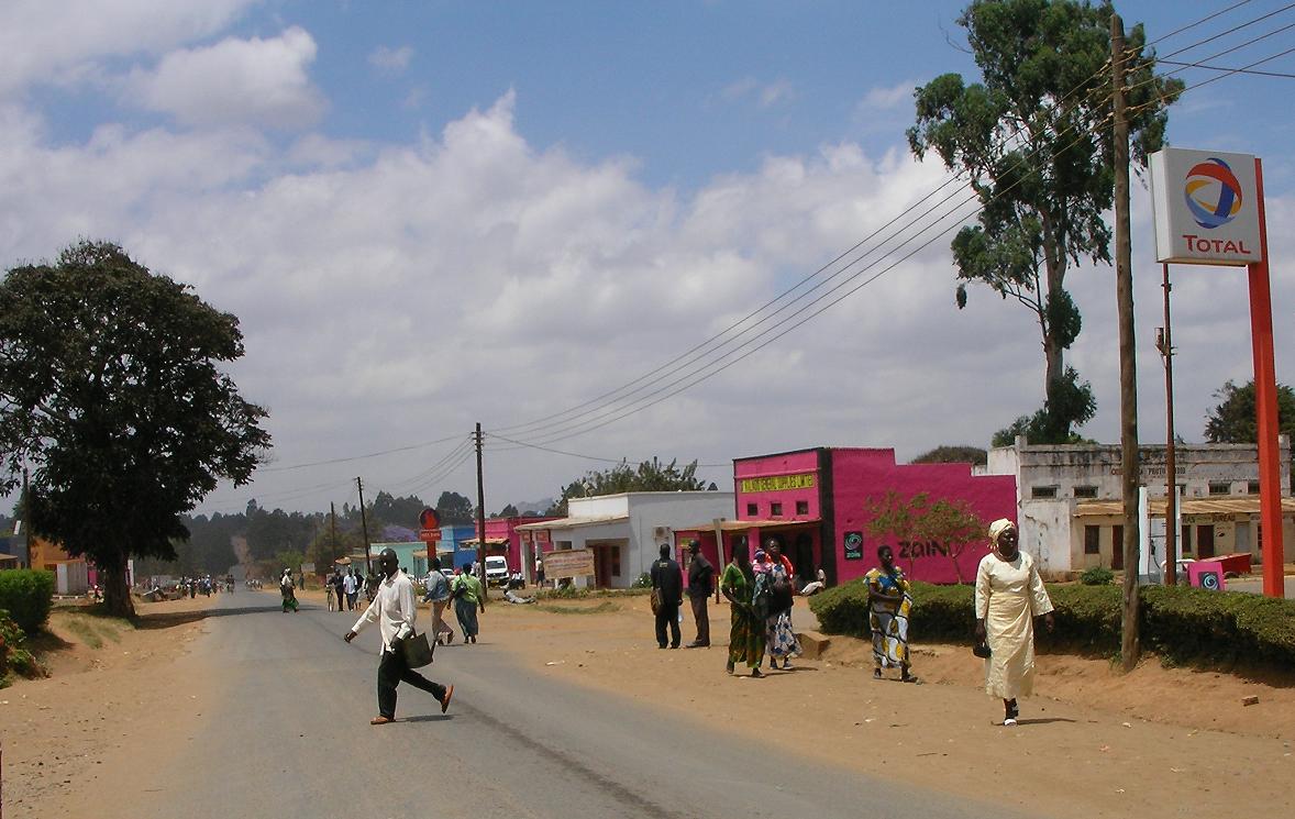
Datos de Nathenje
| Hora local | |
| Zona horaria | hora de África central |
| Latitud y longitud | -14.08463, 33.91076 |
Mapa de Nathenje
Mapa interactivo
Terremotos cercanos recientes
Magnitud 3.0 y mayor
| Fecha▼ | Hora↕ | Magnitude↕ | Distance↕ | Profundidad↕ | Ubicación↕ | Enlace |
|---|---|---|---|---|---|---|
| 10/8/16 | 2:07 PM | 4.4 | 82.2 km | 10,000 m | 27km N of Salima, Malawi | usgs.gov |
| 8/15/15 | 7:33 AM | 4.4 | 93.1 km | 36,080 m | 24km ENE of Salima, Malawi | usgs.gov |
| 1/12/10 | 11:14 PM | 4.7 | 69.7 km | 10,000 m | Malawi | usgs.gov |
| 9/3/06 | 4:34 PM | 3.8 | 62.6 km | 10,000 m | Malawi | usgs.gov |
| 10/1/00 | 11:49 AM | 4.2 | 63.8 km | 10,000 m | Malawi | usgs.gov |
| 4/9/00 | 1:57 AM | 3.9 | 98.1 km | 10,000 m | Malawi | usgs.gov |
| 8/24/98 | 12:12 PM | 4.8 | 94.2 km | 46,400 m | Malawi | usgs.gov |
| 5/31/96 | 9:36 AM | 4.6 | 60.9 km | 10,000 m | Malawi | usgs.gov |
| 9/30/95 | 8:46 PM | 4.6 | 60.8 km | 33,000 m | Malawi | usgs.gov |
| 7/22/95 | 1:31 PM | 5.1 | 99.1 km | 10,000 m | Malawi | usgs.gov |
Fuente: U.S. Geological Survey (USGS)

Sobre nuestros datos
Los datos de esta página se estiman usando varias herramientas y recursos disponibles públicamente. Se proporcionan sin garantía y podrían contener imprecisiones. Úselos bajo su propio riesgo.