Datos de Yegyi
| Hora local | |
| Zona horaria | hora de Myanmar |
| Latitud y longitud | 17.34481, 95.11869 |
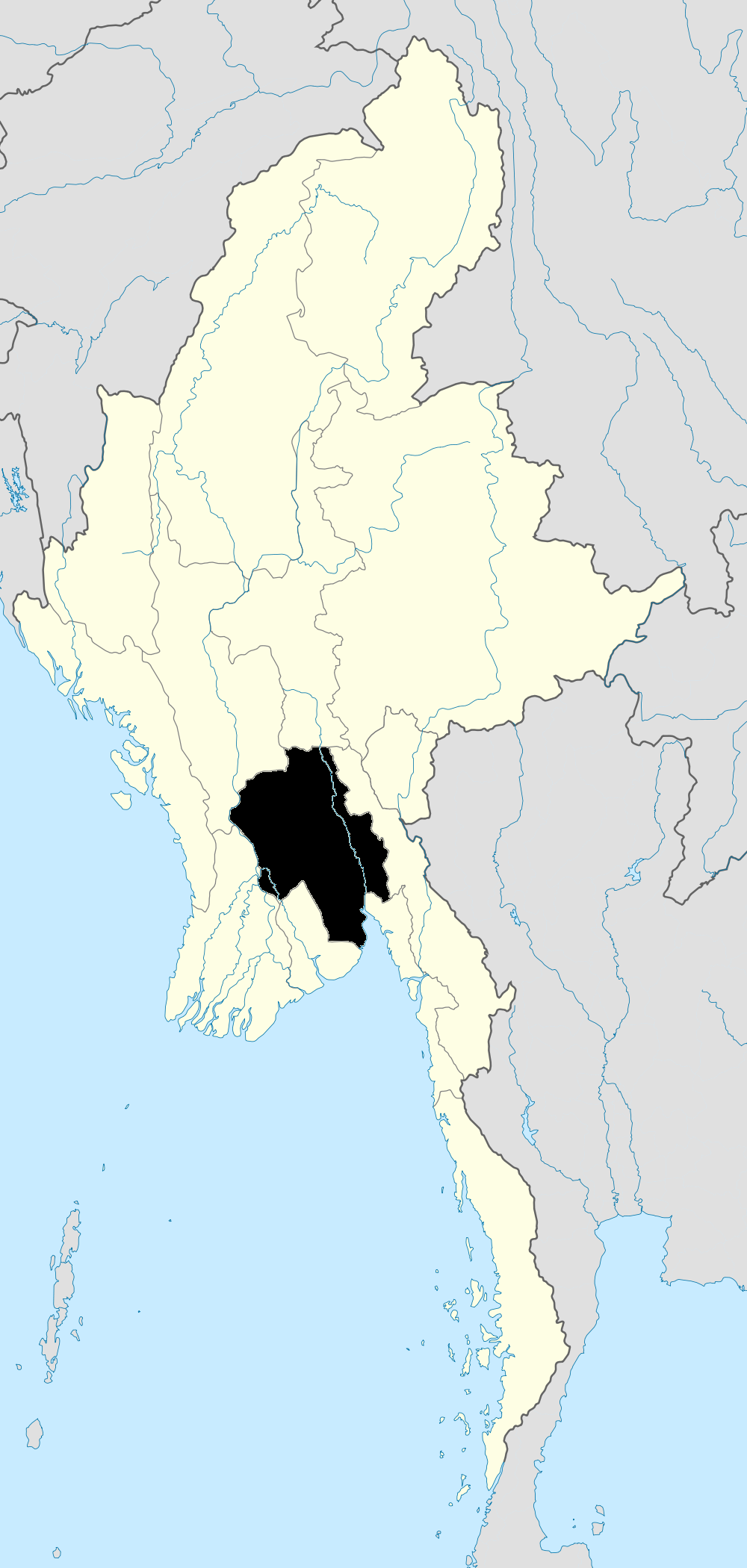
Mapa de Yegyi
Mapa interactivo
Terremotos cercanos recientes
Magnitud 3.0 y mayor
| Fecha▼ | Hora↕ | Magnitude↕ | Distance↕ | Profundidad↕ | Ubicación↕ | Enlace |
|---|---|---|---|---|---|---|
| 4/18/18 | 7:55 AM | 4.2 | 98.7 km | 10,000 m | 12km WNW of Twante, Burma | usgs.gov |
| 1/6/18 | 10:56 PM | 4.1 | 84.9 km | 36,260 m | 105km NNW of Pathein, Burma | usgs.gov |
| 9/11/17 | 1:56 PM | 4.6 | 86.7 km | 10,000 m | 30km SSE of Tharyarwady, Burma | usgs.gov |
| 9/11/17 | 1:19 AM | 4.2 | 88.7 km | 10,000 m | 39km SSE of Tharyarwady, Burma | usgs.gov |
| 3/30/17 | 10:34 AM | 4.2 | 81.8 km | 5,990 m | 33km NE of Nyaungdon, Burma | usgs.gov |
| 3/13/17 | 2:19 PM | 5.1 | 93.8 km | 10,000 m | 34km SE of Tharyarwady, Burma | usgs.gov |
| 10/27/14 | 2:33 PM | 4.4 | 86 km | 38,310 m | 96km NNW of Pathein, Burma | usgs.gov |
| 9/15/13 | 10:47 PM | 4.3 | 93.8 km | 16,370 m | 19km SW of Pathein, Burma | usgs.gov |
| 6/18/10 | 3:20 AM | 4 | 69.9 km | 10,000 m | near the south coast of Myanmar | usgs.gov |
| 10/20/09 | 8:20 AM | 4.2 | 89.6 km | 10,000 m | near the south coast of Myanmar | usgs.gov |
Fuente: U.S. Geological Survey (USGS)


Sobre nuestros datos
Los datos de esta página se estiman usando varias herramientas y recursos disponibles públicamente. Se proporcionan sin garantía y podrían contener imprecisiones. Úselos bajo su propio riesgo.