Datos de Mindon
| Hora local | |
| Zona horaria | hora de Myanmar |
| Latitud y longitud | 19.35377, 94.72844 |
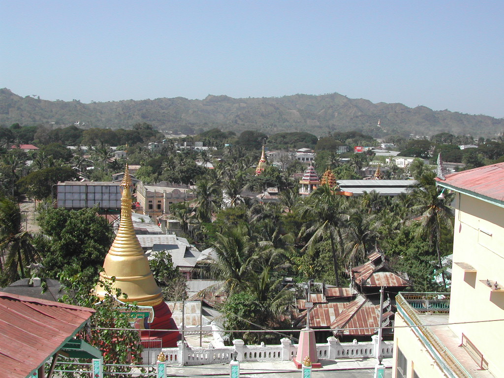
Mapa de Mindon
Mapa interactivo
Terremotos cercanos recientes
Magnitud 3.0 y mayor
| Fecha▼ | Hora↕ | Magnitude↕ | Distance↕ | Profundidad↕ | Ubicación↕ | Enlace |
|---|---|---|---|---|---|---|
| 8/18/19 | 3:38 AM | 4.7 | 96.9 km | 54,670 m | 73km WSW of Prome, Burma | usgs.gov |
| 8/18/19 | 3:24 AM | 5.3 | 98.7 km | 40,290 m | 82km WSW of Prome, Burma | usgs.gov |
| 3/27/19 | 4:39 PM | 4.3 | 54.2 km | 57,540 m | 87km WNW of Prome, Burma | usgs.gov |
| 10/27/18 | 9:16 AM | 4.9 | 99.8 km | 10,000 m | 53km NE of Prome, Burma | usgs.gov |
| 10/10/18 | 10:28 AM | 5.1 | 99.1 km | 10,000 m | 47km ENE of Prome, Burma | usgs.gov |
| 7/13/18 | 12:07 PM | 4.7 | 45.9 km | 10,000 m | 43km WNW of Prome, Burma | usgs.gov |
| 6/27/18 | 10:46 PM | 4.4 | 44.9 km | 10,000 m | 47km WNW of Prome, Burma | usgs.gov |
| 2/14/18 | 7:14 AM | 4.7 | 90.1 km | 85,220 m | 11km SE of Prome, Burma | usgs.gov |
| 11/25/17 | 7:29 PM | 4.5 | 42.2 km | 62,540 m | 89km W of Thayetmyo, Burma | usgs.gov |
| 10/3/17 | 3:20 PM | 4.6 | 47.9 km | 43,050 m | 26km SSW of Thayetmyo, Burma | usgs.gov |
Fuente: U.S. Geological Survey (USGS)

Sobre nuestros datos
Los datos de esta página se estiman usando varias herramientas y recursos disponibles públicamente. Se proporcionan sin garantía y podrían contener imprecisiones. Úselos bajo su propio riesgo.