Datos de Azghand
| Hora local | |
| Zona horaria | hora estándar de Irán |
| Latitud y longitud | 36.19930, 59.33730 |
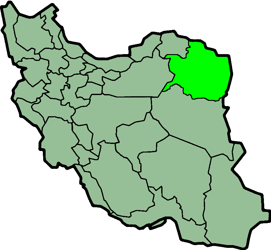
Mapa de Azghand
Mapa interactivo
Terremotos cercanos recientes
Magnitud 3.0 y mayor
| Fecha▼ | Hora↕ | Magnitude↕ | Distance↕ | Profundidad↕ | Ubicación↕ | Enlace |
|---|---|---|---|---|---|---|
| 11/10/15 | 11:17 PM | 4 | 89.9 km | 10,000 m | 42km NE of Kashmar, Iran | usgs.gov |
| 8/23/14 | 2:30 AM | 4.2 | 54.9 km | 10,000 m | 13km ENE of Chenaran, Iran | usgs.gov |
| 1/28/14 | 4:16 PM | 4.3 | 96 km | 10,000 m | 48km WNW of Neyshabur, Iran | usgs.gov |
| 7/15/13 | 11:55 AM | 4 | 92.9 km | 7,300 m | northeastern Iran | usgs.gov |
| 1/19/12 | 5:42 PM | 4.2 | 42.2 km | 10,000 m | northeastern Iran | usgs.gov |
| 1/19/12 | 12:35 PM | 5.1 | 46.2 km | 8,300 m | northeastern Iran | usgs.gov |
| 5/24/11 | 8:30 PM | 4.6 | 79.3 km | 12,800 m | northeastern Iran | usgs.gov |
| 7/3/08 | 11:10 PM | 5.2 | 91.5 km | 10,000 m | northeastern Iran | usgs.gov |
| 7/3/08 | 3:43 PM | 4 | 87.8 km | 13,000 m | northeastern Iran | usgs.gov |
| 12/19/06 | 8:57 AM | 4.2 | 71.4 km | 3,000 m | northeastern Iran | usgs.gov |
Fuente: U.S. Geological Survey (USGS)
Sobre nuestros datos
Los datos de esta página se estiman usando varias herramientas y recursos disponibles públicamente. Se proporcionan sin garantía y podrían contener imprecisiones. Úselos bajo su propio riesgo.