Datos de Arad
| Hora local | |
| Zona horaria | hora estándar de Irán |
| Latitud y longitud | 27.72720, 53.62590 |
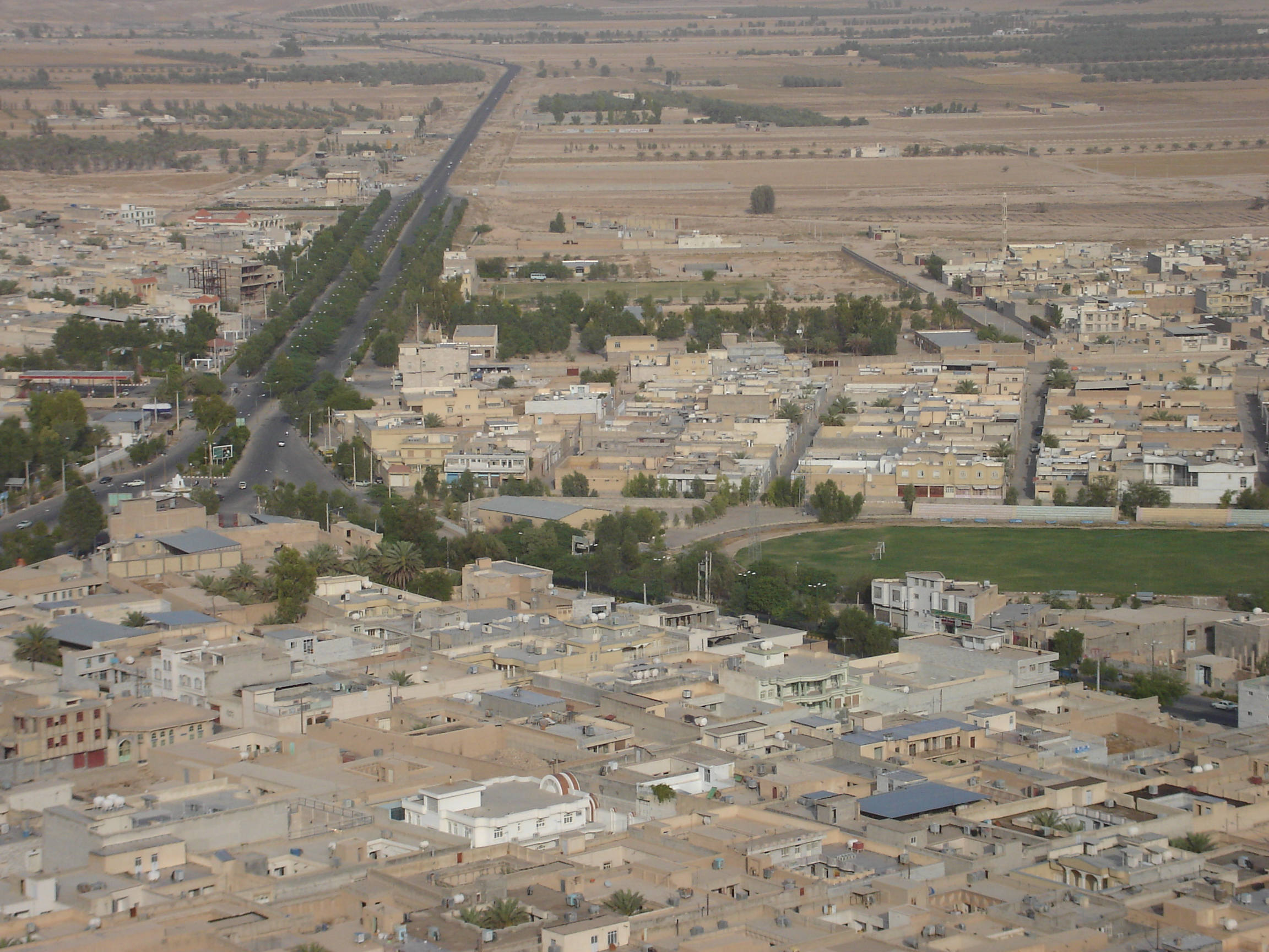
Mapa de Arad
Mapa interactivo
Terremotos cercanos recientes
Magnitud 3.0 y mayor
| Fecha▼ | Hora↕ | Magnitude↕ | Distance↕ | Profundidad↕ | Ubicación↕ | Enlace |
|---|---|---|---|---|---|---|
| 7/16/19 | 12:02 PM | 4.5 | 36.6 km | 10,000 m | 86km W of Gerash, Iran | usgs.gov |
| 6/28/19 | 9:08 AM | 4.4 | 43 km | 10,000 m | 91km W of Gerash, Iran | usgs.gov |
| 4/22/18 | 1:12 AM | 4.5 | 11.2 km | 10,000 m | 61km W of Gerash, Iran | usgs.gov |
| 12/24/17 | 10:57 AM | 4.2 | 19.1 km | 10,000 m | 69km WNW of Gerash, Iran | usgs.gov |
| 9/19/17 | 1:26 PM | 5.1 | 42.1 km | 10,000 m | 33km NNW of Gerash, Iran | usgs.gov |
| 8/10/17 | 1:50 PM | 4.1 | 30.6 km | 10,000 m | 81km W of Gerash, Iran | usgs.gov |
| 1/12/16 | 1:05 PM | 4.2 | 31.3 km | 10,000 m | 31km WSW of Gerash, Iran | usgs.gov |
| 1/8/16 | 8:44 PM | 4.4 | 25.5 km | 23,820 m | 66km WSW of Gerash, Iran | usgs.gov |
| 9/30/15 | 10:26 PM | 4.2 | 42.5 km | 9,300 m | 46km SSE of Jahrom, Iran | usgs.gov |
| 4/30/15 | 4:18 AM | 4 | 43.8 km | 13,700 m | 73km WSW of Gerash, Iran | usgs.gov |
Fuente: U.S. Geological Survey (USGS)

Sobre nuestros datos
Los datos de esta página se estiman usando varias herramientas y recursos disponibles públicamente. Se proporcionan sin garantía y podrían contener imprecisiones. Úselos bajo su propio riesgo.