Datos de Anūch
| Hora local | |
| Zona horaria | hora estándar de Irán |
| Latitud y longitud | 34.10810, 48.57330 |
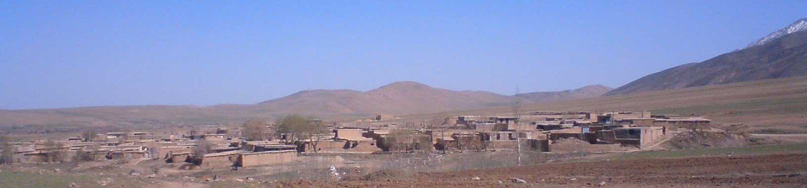
Mapa de Anūch
Mapa interactivo
Terremotos cercanos recientes
Magnitud 3.0 y mayor
| Fecha▼ | Hora↕ | Magnitude↕ | Distance↕ | Profundidad↕ | Ubicación↕ | Enlace |
|---|---|---|---|---|---|---|
| 10/18/18 | 3:14 PM | 4.4 | 23.9 km | 10,000 m | 17km W of Borujerd, Iran | usgs.gov |
| 9/19/18 | 12:41 PM | 4.3 | 62.7 km | 10,000 m | 9km WSW of Azna, Iran | usgs.gov |
| 7/11/18 | 11:13 AM | 4.3 | 85.1 km | 10,000 m | 17km SSE of Khorramabad, Iran | usgs.gov |
| 11/23/17 | 10:30 PM | 4.4 | 45.5 km | 10,000 m | 22km SSW of Borujerd, Iran | usgs.gov |
| 11/14/17 | 4:48 AM | 4.2 | 86.1 km | 10,000 m | 31km NNE of Kuhdasht, Iran | usgs.gov |
| 11/13/17 | 4:49 PM | 4.4 | 90.6 km | 10,000 m | 31km N of Kuhdasht, Iran | usgs.gov |
| 11/13/17 | 3:33 PM | 4.6 | 88.9 km | 10,000 m | 20km NE of Kuhdasht, Iran | usgs.gov |
| 11/13/17 | 11:26 AM | 4.2 | 86.7 km | 10,000 m | 32km NNE of Kuhdasht, Iran | usgs.gov |
| 9/21/17 | 4:59 AM | 4.2 | 78.1 km | 10,000 m | 16km ENE of Harsin, Iran | usgs.gov |
| 7/28/17 | 1:04 AM | 4.7 | 25.6 km | 10,000 m | 12km SW of pamas, Iran | usgs.gov |
Fuente: U.S. Geological Survey (USGS)

Sobre nuestros datos
Los datos de esta página se estiman usando varias herramientas y recursos disponibles públicamente. Se proporcionan sin garantía y podrían contener imprecisiones. Úselos bajo su propio riesgo.