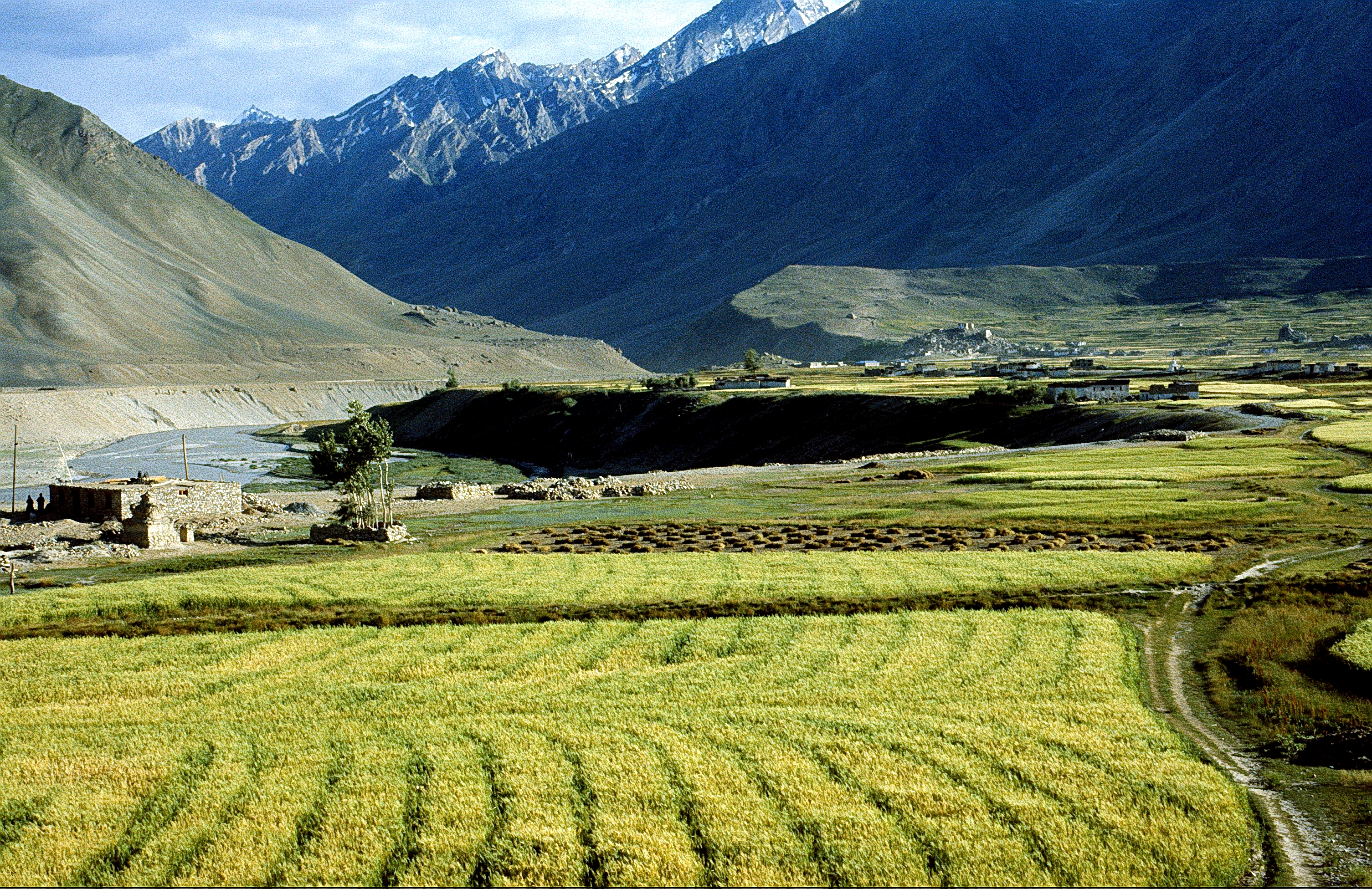
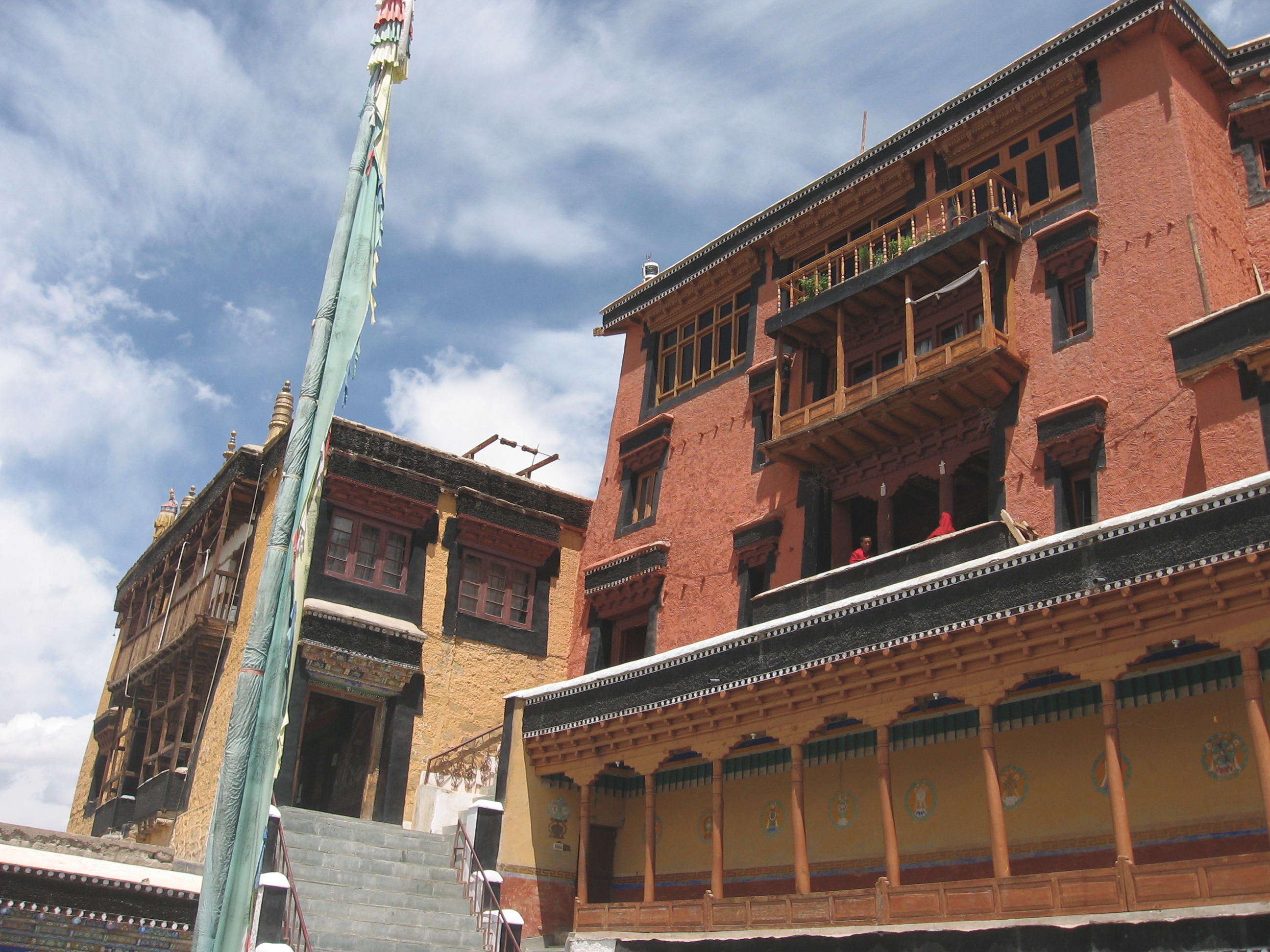
Datos de Stakna
| Hora local | |
| Zona horaria | hora estándar de la India |
| Latitud y longitud | 34.00610, 77.69262 |
Mapa de Stakna
Mapa interactivo
Terremotos cercanos recientes
Magnitud 3.0 y mayor
| Fecha▼ | Hora↕ | Magnitude↕ | Distance↕ | Profundidad↕ | Ubicación↕ | Enlace |
|---|---|---|---|---|---|---|
| 1/10/19 | 2:52 AM | 4.6 | 64 km | 34,510 m | 64km ENE of Leh, India | usgs.gov |
| 1/6/19 | 11:10 PM | 4.3 | 39.6 km | 10,000 m | 43km E of Leh, India | usgs.gov |
| 10/29/18 | 4:02 PM | 4.1 | 23.3 km | 10,000 m | 36km ESE of Leh, India | usgs.gov |
| 10/29/18 | 2:56 PM | 4.5 | 59.6 km | 10,000 m | 59km ENE of Leh, India | usgs.gov |
| 10/29/18 | 2:43 PM | 4.9 | 47.2 km | 10,000 m | 50km E of Leh, India | usgs.gov |
| 10/29/18 | 6:27 AM | 4.6 | 48.1 km | 10,000 m | 48km ENE of Leh, India | usgs.gov |
| 6/7/18 | 6:51 AM | 4.4 | 41.2 km | 10,000 m | 43km E of Leh, India | usgs.gov |
| 12/10/17 | 10:58 PM | 4.6 | 87.8 km | 35,550 m | 92km E of Leh, India | usgs.gov |
| 12/9/17 | 10:43 AM | 4.7 | 97 km | 20,300 m | 93km N of Kyelang, India | usgs.gov |
| 3/17/16 | 4:47 PM | 4.1 | 35 km | 31,900 m | 46km ESE of Leh, India | usgs.gov |
Fuente: U.S. Geological Survey (USGS)

Sobre nuestros datos
Los datos de esta página se estiman usando varias herramientas y recursos disponibles públicamente. Se proporcionan sin garantía y podrían contener imprecisiones. Úselos bajo su propio riesgo.