Categorías en Seling
Datos de Seling
| Hora local | |
| Zona horaria | hora estándar de la India |
| Latitud y longitud | 23.72552, 92.85657 |
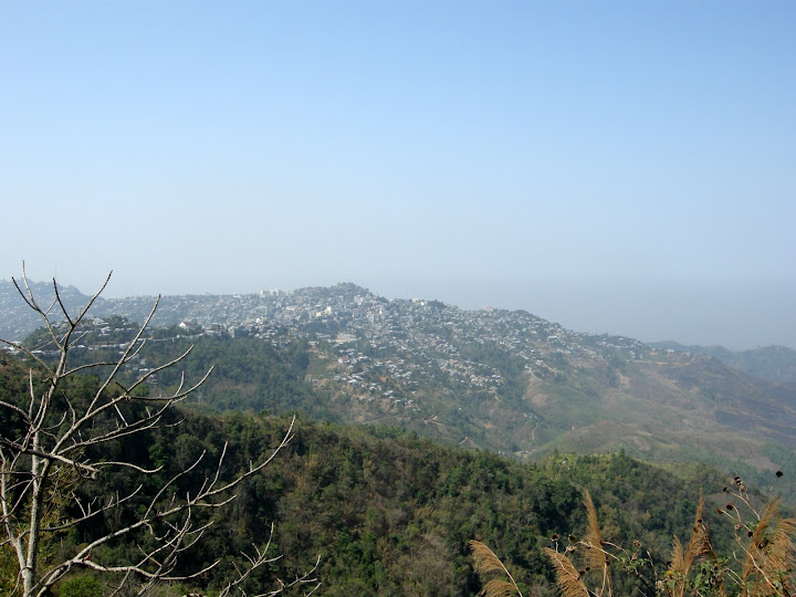
Mapa de Seling
Mapa interactivo
Terremotos cercanos recientes
Magnitud 3.0 y mayor
| Fecha▼ | Hora↕ | Magnitude↕ | Distance↕ | Profundidad↕ | Ubicación↕ | Enlace |
|---|---|---|---|---|---|---|
| 3/25/19 | 12:41 PM | 4.6 | 93.3 km | 56,650 m | 16km W of Churachandpur, India | usgs.gov |
| 11/10/18 | 5:15 PM | 5.2 | 61.1 km | 52,390 m | 48km SW of Churachandpur, India | usgs.gov |
| 8/8/17 | 12:35 AM | 4.2 | 95.5 km | 62,840 m | 12km WSW of Churachandpur, India | usgs.gov |
| 7/21/17 | 12:23 AM | 4.4 | 83.6 km | 38,770 m | 21km S of Dharmanagar, India | usgs.gov |
| 2/24/17 | 12:02 PM | 5 | 72.8 km | 59,800 m | 37km SSW of Churachandpur, India | usgs.gov |
| 1/3/17 | 9:09 AM | 5.7 | 91.3 km | 32,000 m | 20km ENE of Ambasa, India | usgs.gov |
| 10/26/16 | 6:29 AM | 4.7 | 66.4 km | 50,300 m | 19km S of Serchhip, India | usgs.gov |
| 10/28/15 | 11:54 PM | 4.3 | 41.6 km | 38,490 m | 11km NW of Darlawn, India | usgs.gov |
| 7/21/15 | 8:21 AM | 4.2 | 91.5 km | 59,710 m | 34km S of Churachandpur, India | usgs.gov |
| 2/12/15 | 3:33 PM | 4.4 | 88.1 km | 54,610 m | 61km S of Churachandpur, India | usgs.gov |
Fuente: U.S. Geological Survey (USGS)


Sobre nuestros datos
Los datos de esta página se estiman usando varias herramientas y recursos disponibles públicamente. Se proporcionan sin garantía y podrían contener imprecisiones. Úselos bajo su propio riesgo.