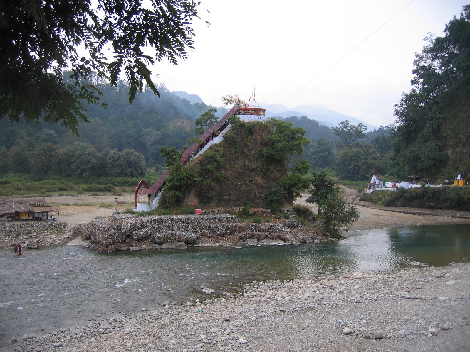
Datos de Gwāldam
| Hora local | |
| Zona horaria | hora estándar de la India |
| Latitud y longitud | 30.00614, 79.56877 |
| Códigos Postales | 246441 |
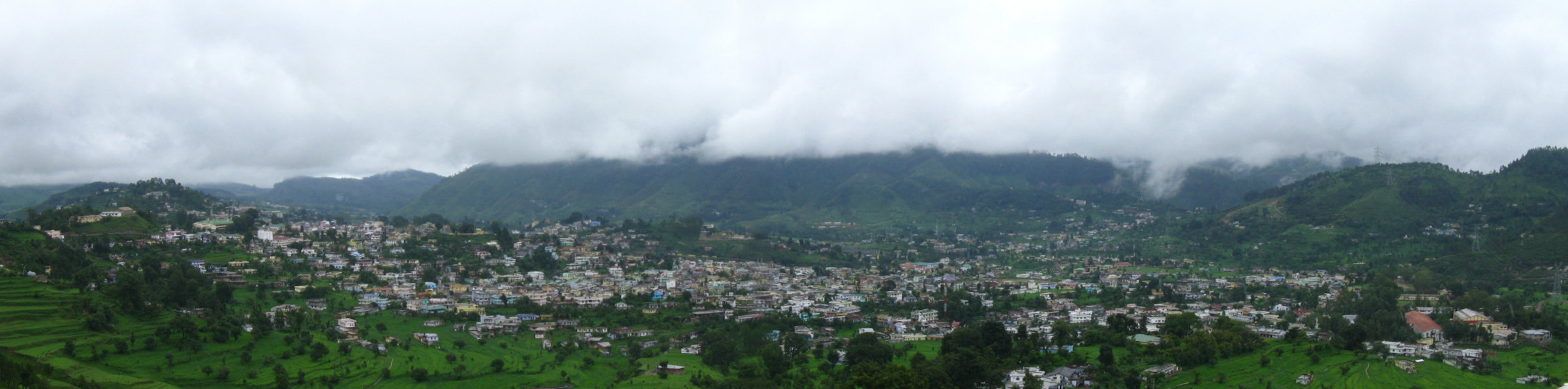
Mapa de Gwāldam
Mapa interactivo
Terremotos cercanos recientes
Magnitud 3.0 y mayor
| Fecha▼ | Hora↕ | Magnitude↕ | Distance↕ | Profundidad↕ | Ubicación↕ | Enlace |
|---|---|---|---|---|---|---|
| 12/6/17 | 3:19 PM | 5.1 | 79.9 km | 10,000 m | 35km NW of Pipalkoti, India | usgs.gov |
| 2/6/17 | 5:03 PM | 5.1 | 81.7 km | 16,050 m | 36km NW of Pipalkoti, India | usgs.gov |
| 9/29/15 | 9:27 AM | 4.6 | 77.7 km | 35,000 m | 22km NW of Darchula, Nepal | usgs.gov |
| 8/5/15 | 7:15 PM | 4.1 | 84 km | 10,000 m | 60km NNW of Darchula, Nepal | usgs.gov |
| 7/18/15 | 11:48 PM | 4.4 | 63.2 km | 10,000 m | 24km NE of Rudraprayag, India | usgs.gov |
| 4/1/15 | 9:23 PM | 4.9 | 38.8 km | 10,000 m | 10km SSE of Pipalkoti, India | usgs.gov |
| 12/6/14 | 4:27 AM | 4.1 | 85.6 km | 10,000 m | 45km ENE of Joshimath, India | usgs.gov |
| 8/24/14 | 8:29 AM | 4.4 | 37.8 km | 10,000 m | 27km NE of Bageshwar, India | usgs.gov |
| 7/6/14 | 2:48 PM | 4.1 | 82.3 km | 43,730 m | 55km NNW of Dharchula, India | usgs.gov |
| 7/3/14 | 11:35 AM | 4 | 78.8 km | 35,000 m | 47km NNW of Dharchula, India | usgs.gov |
Fuente: U.S. Geological Survey (USGS)

Sobre nuestros datos
Los datos de esta página se estiman usando varias herramientas y recursos disponibles públicamente. Se proporcionan sin garantía y podrían contener imprecisiones. Úselos bajo su propio riesgo.