Datos de Waiwerang
| Hora local | |
| Zona horaria | hora de Indonesia central |
| Latitud y longitud | -8.38840, 123.16480 |
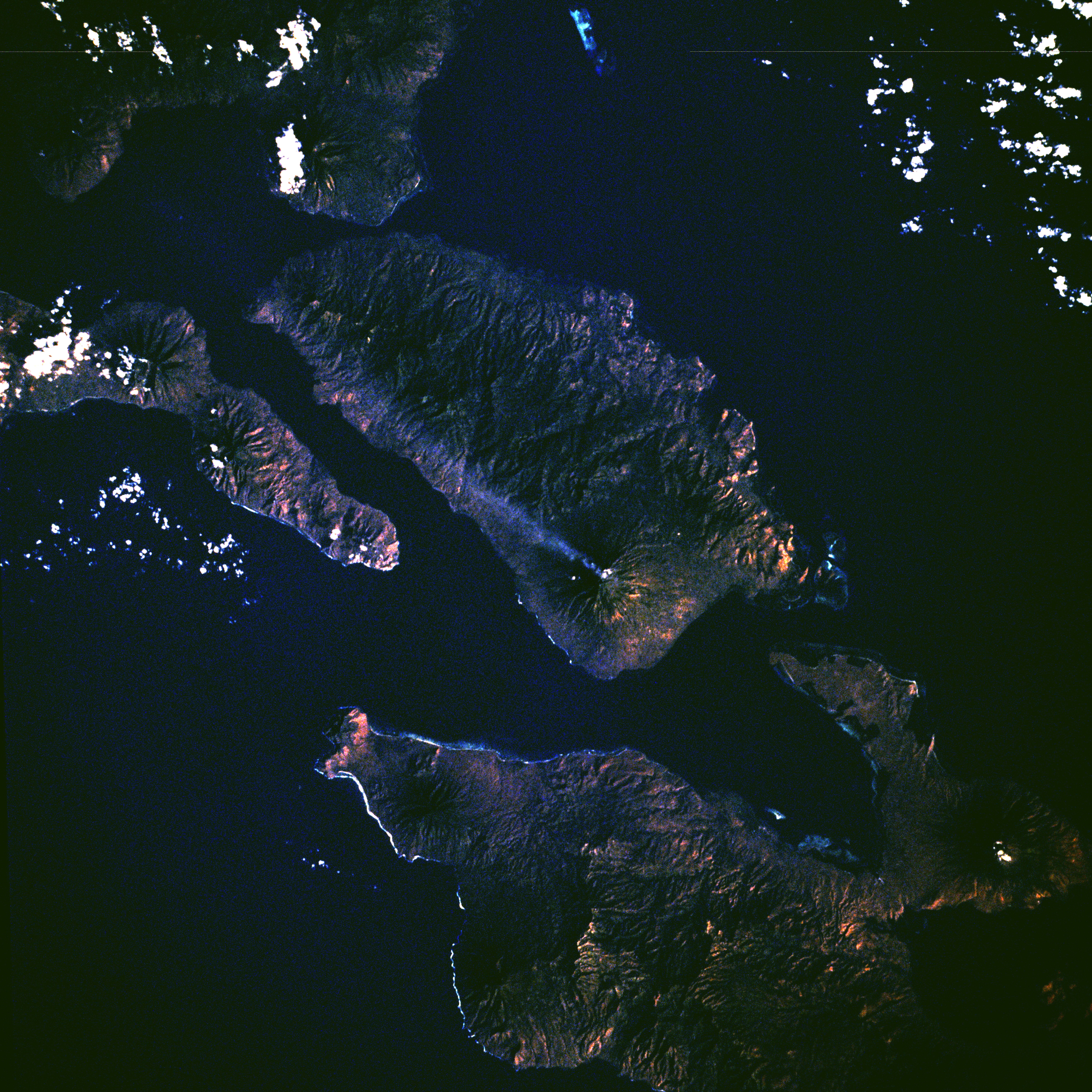
Mapa de Waiwerang
Mapa interactivo
Terremotos cercanos recientes
Magnitud 3.0 y mayor
| Fecha▼ | Hora↕ | Magnitude↕ | Distance↕ | Profundidad↕ | Ubicación↕ | Enlace |
|---|---|---|---|---|---|---|
| 3/3/19 | 10:51 PM | 4.6 | 38.7 km | 35,000 m | 41km NNE of Palue, Indonesia | usgs.gov |
| 3/27/18 | 3:13 AM | 4.2 | 14 km | 203,730 m | 48km ENE of Palue, Indonesia | usgs.gov |
| 2/8/18 | 9:12 PM | 4.2 | 37.8 km | 124,710 m | 64km E of Watubuku, Indonesia | usgs.gov |
| 10/10/17 | 11:10 PM | 4.8 | 29.2 km | 10,000 m | 80km ENE of Sukutukang, Indonesia | usgs.gov |
| 10/9/17 | 10:23 PM | 5 | 28 km | 10,000 m | 79km ENE of Watubuku, Indonesia | usgs.gov |
| 10/9/17 | 6:27 PM | 4.3 | 35.1 km | 31,180 m | 85km ENE of Duang, Indonesia | usgs.gov |
| 10/9/17 | 4:53 PM | 4.5 | 22.6 km | 10,000 m | 73km ENE of Duang, Indonesia | usgs.gov |
| 8/7/17 | 1:53 PM | 4.2 | 46.5 km | 220,000 m | 59km NNE of Palue, Indonesia | usgs.gov |
| 9/7/16 | 1:14 AM | 4.5 | 23.8 km | 41,780 m | 67km ENE of Palue, Indonesia | usgs.gov |
| 5/16/16 | 10:13 PM | 4.1 | 18.7 km | 161,890 m | 66km ENE of Watubuku, Indonesia | usgs.gov |
Fuente: U.S. Geological Survey (USGS)

Sobre nuestros datos
Los datos de esta página se estiman usando varias herramientas y recursos disponibles públicamente. Se proporcionan sin garantía y podrían contener imprecisiones. Úselos bajo su propio riesgo.