Datos de Venilale
| Hora local | |
| Zona horaria | hora de Timor Oriental |
| Latitud y longitud | -8.61667, 126.36667 |
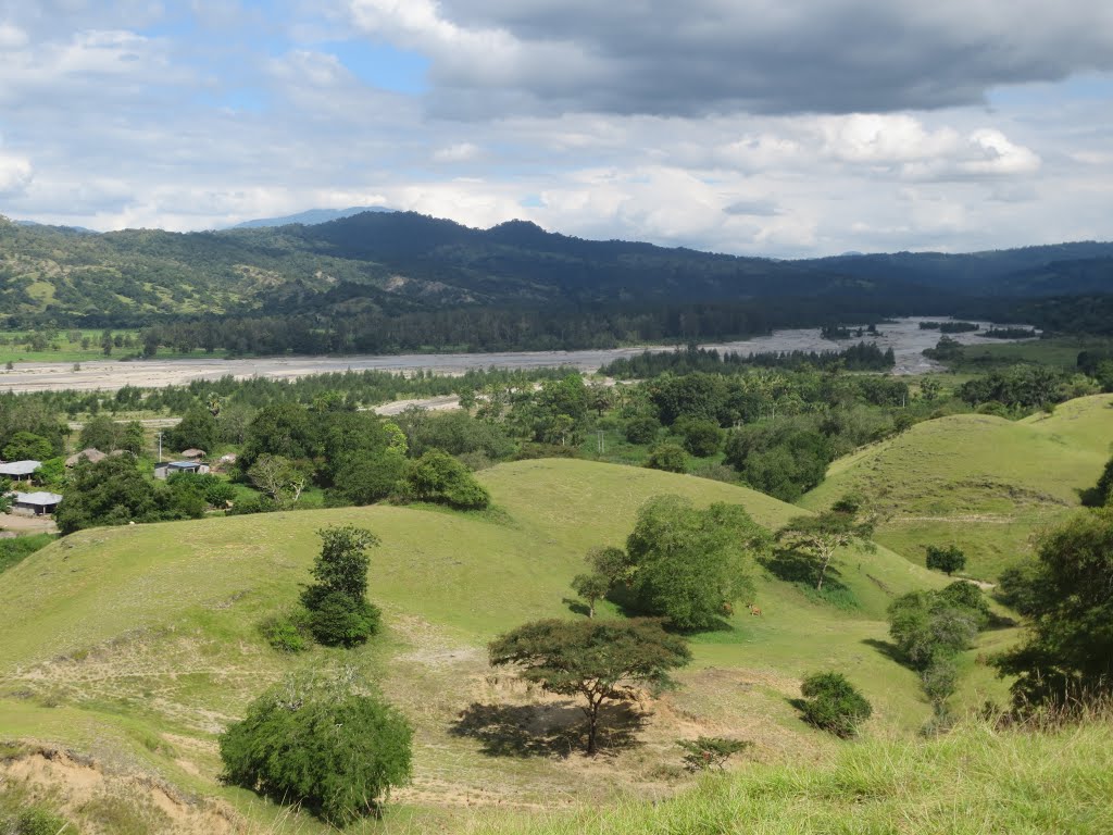
Mapa de Venilale
Mapa interactivo
Terremotos cercanos recientes
Magnitud 3.0 y mayor
| Fecha▼ | Hora↕ | Magnitude↕ | Distance↕ | Profundidad↕ | Ubicación↕ | Enlace |
|---|---|---|---|---|---|---|
| 7/30/18 | 4:38 PM | 4 | 80.4 km | 35,000 m | 39km ESE of Ainaro, East Timor | usgs.gov |
| 7/25/18 | 10:21 AM | 4 | 36 km | 134,100 m | 123km E of Dili, East Timor | usgs.gov |
| 2/13/18 | 12:50 AM | 4.6 | 74.5 km | 35,000 m | 108km ESE of Ainaro, East Timor | usgs.gov |
| 7/15/17 | 3:31 PM | 4.4 | 70.3 km | 84,400 m | 140km E of Ainaro, East Timor | usgs.gov |
| 9/15/16 | 3:53 PM | 4.1 | 71.2 km | 95,640 m | 140km ENE of Dili, East Timor | usgs.gov |
| 5/28/16 | 9:03 PM | 4.9 | 39.2 km | 33,940 m | 119km E of Aileu, East Timor | usgs.gov |
| 5/24/16 | 8:39 PM | 4.1 | 87.4 km | 163,420 m | 1km E of Aileu, East Timor | usgs.gov |
| 6/19/15 | 9:14 AM | 4.5 | 86 km | 37,960 m | 166km E of Aileu, East Timor | usgs.gov |
| 4/22/15 | 10:15 PM | 4.6 | 39.1 km | 10,000 m | 55km E of Aileu, East Timor | usgs.gov |
| 4/7/15 | 10:11 PM | 4.2 | 73.9 km | 35,000 m | 109km ESE of Ainaro, East Timor | usgs.gov |
Fuente: U.S. Geological Survey (USGS)


Sobre nuestros datos
Los datos de esta página se estiman usando varias herramientas y recursos disponibles públicamente. Se proporcionan sin garantía y podrían contener imprecisiones. Úselos bajo su propio riesgo.