Datos de Ciptabiru
| Hora local | |
| Zona horaria | hora de Indonesia occidental |
| Latitud y longitud | -6.92194, 107.72611 |
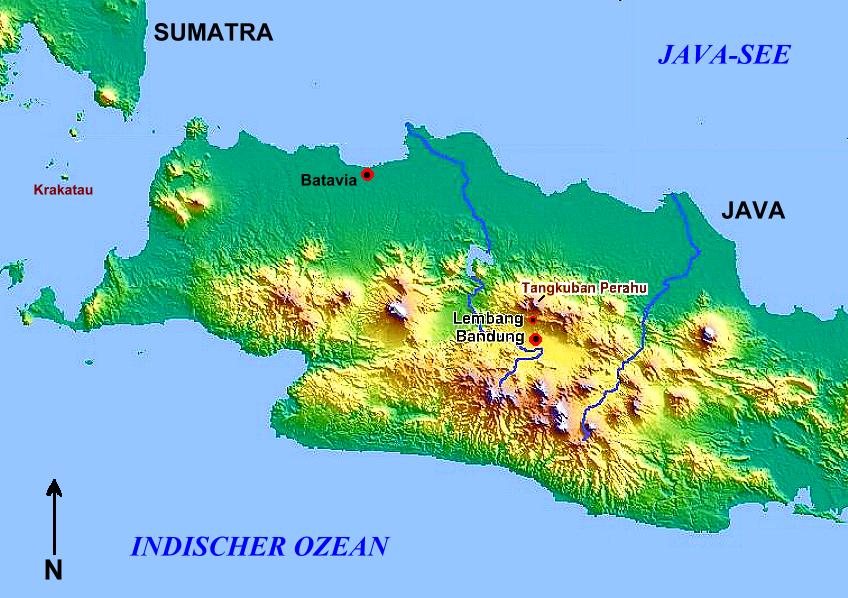
Mapa de Ciptabiru
Mapa interactivo
Terremotos cercanos recientes
Magnitud 3.0 y mayor
| Fecha▼ | Hora↕ | Magnitude↕ | Distance↕ | Profundidad↕ | Ubicación↕ | Enlace |
|---|---|---|---|---|---|---|
| 6/2/19 | 4:52 AM | 4.4 | 45.9 km | 72,660 m | 7km S of Santosa, Indonesia | usgs.gov |
| 3/19/19 | 5:04 AM | 4.5 | 75.9 km | 155,050 m | 9km NNW of Cibeber, Indonesia | usgs.gov |
| 2/11/18 | 6:48 AM | 4 | 73.6 km | 242,260 m | 10km SSW of Palimanan, Indonesia | usgs.gov |
| 12/15/17 | 4:47 PM | 6.5 | 80.2 km | 90,000 m | 1km E of Kampungbaru, Indonesia | usgs.gov |
| 12/12/17 | 2:23 AM | 5 | 73.7 km | 100,750 m | 1km SSW of Ciodeng, Indonesia | usgs.gov |
| 7/24/17 | 12:19 AM | 4.4 | 43.5 km | 141,580 m | 3km W of Gudang, Indonesia | usgs.gov |
| 7/18/17 | 5:58 AM | 4.2 | 22.9 km | 18,560 m | 8km SE of Banjaran, Indonesia | usgs.gov |
| 2/15/17 | 6:53 PM | 5 | 75.6 km | 77,330 m | 4km SE of Kaum, Indonesia | usgs.gov |
| 11/5/16 | 11:44 PM | 4.2 | 33.2 km | 10,000 m | 9km NW of Santosa, Indonesia | usgs.gov |
| 7/31/16 | 10:46 AM | 4.2 | 30.8 km | 180,240 m | 11km NNE of Sumedang Utara, Indonesia | usgs.gov |
Fuente: U.S. Geological Survey (USGS)


Sobre nuestros datos
Los datos de esta página se estiman usando varias herramientas y recursos disponibles públicamente. Se proporcionan sin garantía y podrían contener imprecisiones. Úselos bajo su propio riesgo.