Datos de Labadee
| Hora local | |
| Zona horaria | hora de verano oriental |
| Latitud y longitud | 19.77222, -72.24389 |
Mapa de Labadee
Mapa interactivo
Terremotos cercanos recientes
Magnitud 3.0 y mayor
| Fecha▼ | Hora↕ | Magnitude↕ | Distance↕ | Profundidad↕ | Ubicación↕ | Enlace |
|---|---|---|---|---|---|---|
| 10/17/18 | 2:05 AM | 4.4 | 84.1 km | 12,640 m | 21km NW of Ti Port-de-Paix, Haiti | usgs.gov |
| 10/8/18 | 5:04 AM | 4.4 | 86.4 km | 10,000 m | 32km NNW of Ti Port-de-Paix, Haiti | usgs.gov |
| 10/7/18 | 8:00 PM | 5.4 | 86 km | 23,000 m | 22km WNW of Ti Port-de-Paix, Haiti | usgs.gov |
| 10/7/18 | 12:11 AM | 5.9 | 85.6 km | 24,000 m | 21km WNW of Ti Port-de-Paix, Haiti | usgs.gov |
| 9/27/18 | 4:35 PM | 3.3 | 94.5 km | 10,000 m | 8km WSW of Villa Elisa, Dominican Republic | usgs.gov |
| 9/23/18 | 7:23 AM | 4.4 | 96.7 km | 10,000 m | 6km WNW of Villa Elisa, Dominican Republic | usgs.gov |
| 4/12/18 | 12:45 AM | 4 | 93 km | 10,000 m | 9km NNE of Petite Anse, Haiti | usgs.gov |
| 9/2/17 | 8:14 PM | 4.3 | 91.2 km | 9,360 m | 9km WSW of Thomonde, Haiti | usgs.gov |
| 1/2/16 | 3:25 PM | 4.5 | 76.7 km | 35,850 m | 4km NNW of Castanuelas, Dominican Republic | usgs.gov |
| 12/27/12 | 9:44 PM | 4 | 94.1 km | 5,400 m | Dominican Republic region | usgs.gov |
Fuente: U.S. Geological Survey (USGS)
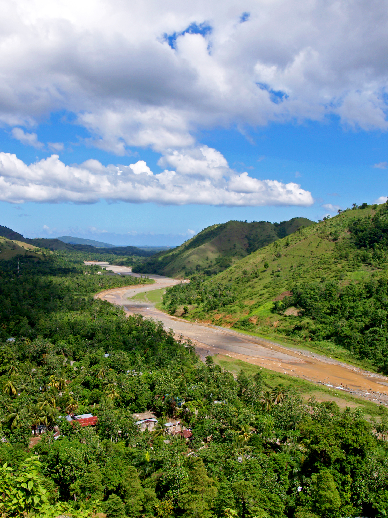
Labadee
Labadee es un fondeadero ubicado en la costa norte de La Española, en la República de Haití. Geográficamente se compone de una península y consiste en un complejo turístico alquilado por la naviera Royal Caribbean International al Gobierno haitiano. ..
Página de Wikipedia de Labadee


Sobre nuestros datos
Los datos de esta página se estiman usando varias herramientas y recursos disponibles públicamente. Se proporcionan sin garantía y podrían contener imprecisiones. Úselos bajo su propio riesgo.