Datos de Wiegendorf
| Códigos de Área | 36462 |
| Barrios | Schwabsdorf |
| Hora local | |
| Zona horaria | hora de verano de Europa central |
| Latitud y longitud | 50.98333, 11.43333 |
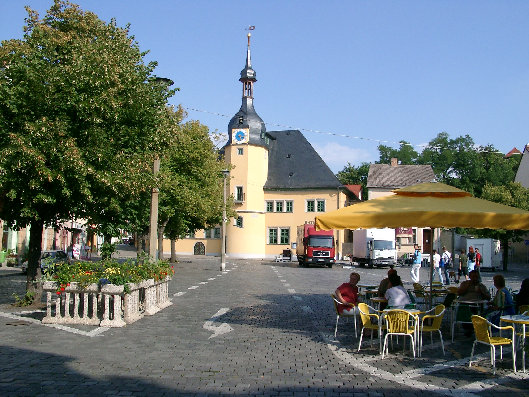
Mapa de Wiegendorf
Mapa interactivo
Terremotos cercanos recientes
Magnitud 3.0 y mayor
| Fecha▼ | Hora↕ | Magnitude↕ | Distance↕ | Profundidad↕ | Ubicación↕ | Enlace |
|---|---|---|---|---|---|---|
| 4/16/15 | 6:38 AM | 3.3 | 70.3 km | 20,600 m | 1km NE of Grobers, Germany | usgs.gov |
| 10/19/07 | 4:42 AM | 3.6 | 66.1 km | 10,000 m | Germany-Czech Republic border region | usgs.gov |
| 10/25/06 | 2:11 PM | 3 | 65.2 km | 1,000 m | Germany | usgs.gov |
| 8/4/06 | 2:21 AM | 3 | 70.1 km | 10,000 m | Germany-Czech Republic border region | usgs.gov |
| 6/5/01 | 6:26 AM | 3.5 | 89 km | 10,000 m | Germany-Czech Republic border region | usgs.gov |
| 9/4/00 | 12:31 AM | 3.6 | 94.4 km | 10,000 m | Czech Republic | usgs.gov |
| 9/11/96 | 3:36 AM | 4.9 | 41.9 km | 10,000 m | Germany | usgs.gov |
| 2/25/96 | 2:23 PM | 3.1 | 70 km | 10,000 m | Germany | usgs.gov |
| 5/19/91 | 3:22 AM | 3.3 | 97.9 km | 14,400 m | Germany-Czech Republic border region | usgs.gov |
| 3/25/91 | 2:54 PM | 3.1 | 95.4 km | 10,000 m | Germany-Czech Republic border region | usgs.gov |
Fuente: U.S. Geological Survey (USGS)


Sobre nuestros datos
Los datos de esta página se estiman usando varias herramientas y recursos disponibles públicamente. Se proporcionan sin garantía y podrían contener imprecisiones. Úselos bajo su propio riesgo.