Datos de Gasa
| Códigos de Área | 2 |
| Hora local | |
| Zona horaria | hora de Bután |
| Latitud y longitud | 27.90372, 89.72689 |
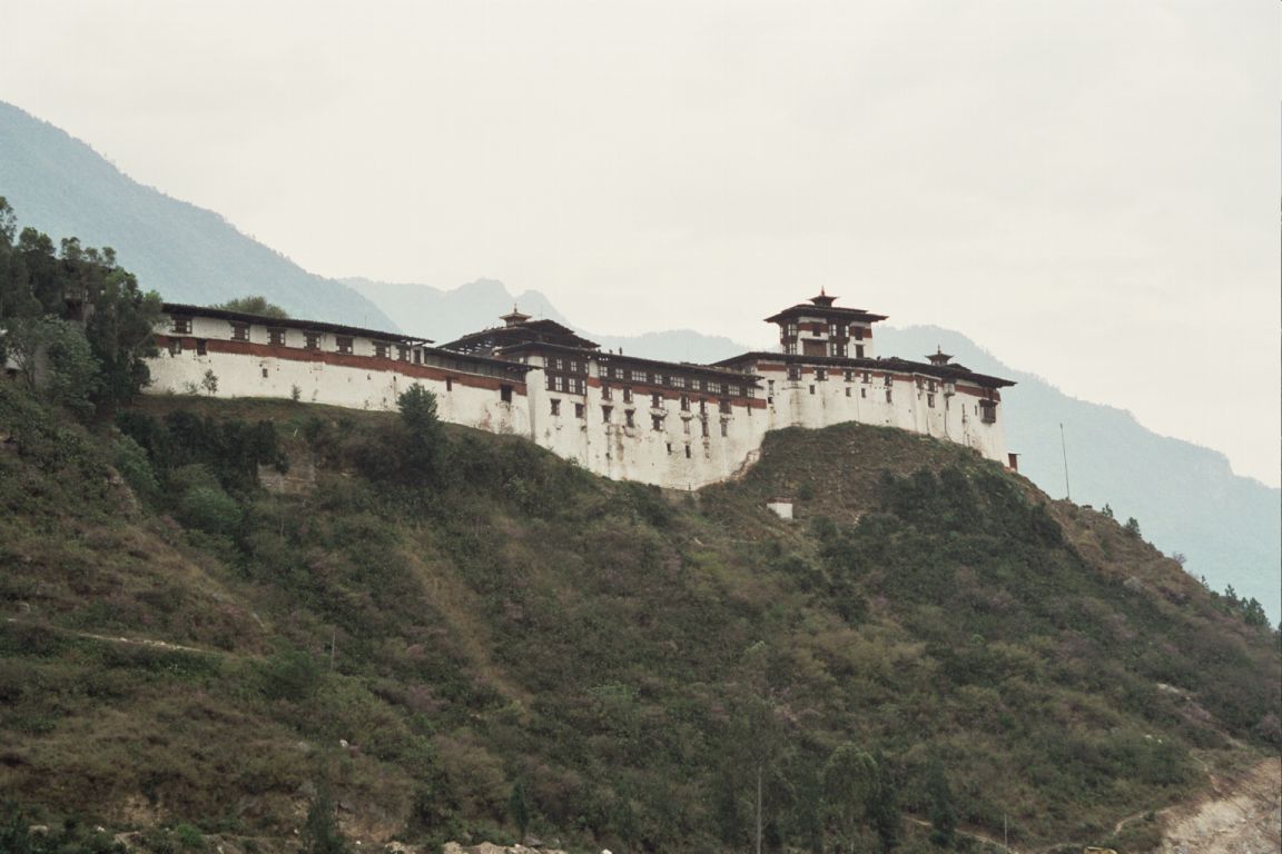
Mapa de Gasa
Mapa interactivo
Terremotos cercanos recientes
Magnitud 3.0 y mayor
| Fecha▼ | Hora↕ | Magnitude↕ | Distance↕ | Profundidad↕ | Ubicación↕ | Enlace |
|---|---|---|---|---|---|---|
| 5/24/17 | 3:16 AM | 4.4 | 61.9 km | 28,390 m | 28km E of Wangdue Phodrang, Bhutan | usgs.gov |
| 11/17/14 | 2:06 AM | 4.2 | 71.2 km | 31,870 m | 19km W of Trongsa, Bhutan | usgs.gov |
| 6/6/13 | 7:00 PM | 3.9 | 48.7 km | 10,000 m | 16km W of Gasa, Bhutan | usgs.gov |
| 11/18/09 | 12:49 AM | 4.5 | 75 km | 43,900 m | Bhutan | usgs.gov |
| 2/23/08 | 1:39 PM | 3.9 | 71.8 km | 35,000 m | Bhutan | usgs.gov |
| 11/25/05 | 12:50 PM | 3.7 | 82.9 km | 10,000 m | western Xizang | usgs.gov |
| 3/11/05 | 5:08 AM | 4.4 | 97.8 km | 52,600 m | Bhutan | usgs.gov |
| 3/25/03 | 6:51 PM | 5.5 | 81 km | 47,100 m | Bhutan | usgs.gov |
| 5/3/01 | 4:02 PM | 4.1 | 79.3 km | 33,000 m | Bhutan | usgs.gov |
| 10/2/85 | 4:33 PM | 4.4 | 91.1 km | 45,900 m | Bhutan | usgs.gov |
Fuente: U.S. Geological Survey (USGS)


Sobre nuestros datos
Los datos de esta página se estiman usando varias herramientas y recursos disponibles públicamente. Se proporcionan sin garantía y podrían contener imprecisiones. Úselos bajo su propio riesgo.