Datos de Wazīt
| Hora local | |
| Zona horaria | hora de Afganistán |
| Latitud y longitud | 36.98856, 72.77981 |
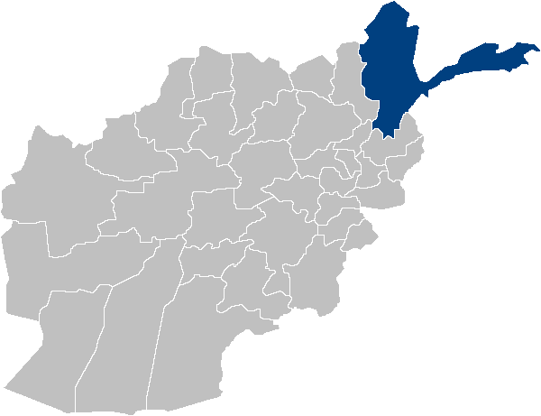
Mapa de Wazīt
Mapa interactivo
Terremotos cercanos recientes
Magnitud 3.0 y mayor
| Fecha▼ | Hora↕ | Magnitude↕ | Distance↕ | Profundidad↕ | Ubicación↕ | Enlace |
|---|---|---|---|---|---|---|
| 4/9/19 | 4:30 PM | 4 | 47 km | 40,190 m | 70km NE of Khandud, Afghanistan | usgs.gov |
| 9/27/16 | 5:12 AM | 4.5 | 37 km | 73,900 m | 78km E of Khandud, Afghanistan | usgs.gov |
| 9/27/16 | 5:11 AM | 4.4 | 34.1 km | 52,750 m | 72km E of Khandud, Afghanistan | usgs.gov |
| 2/2/15 | 11:51 PM | 4.5 | 25.5 km | 62,200 m | 58km ESE of Khandud, Afghanistan | usgs.gov |
| 4/9/14 | 11:00 PM | 4 | 20.4 km | 10,000 m | 29km ENE of Khandud, Afghanistan | usgs.gov |
| 12/27/13 | 9:12 PM | 4.3 | 42.2 km | 53,490 m | 74km ESE of Khandud, Afghanistan | usgs.gov |
| 8/21/13 | 8:58 PM | 4.4 | 22.9 km | 153,300 m | 52km ESE of Khandud, Afghanistan | usgs.gov |
| 6/21/13 | 8:51 PM | 4.8 | 32.8 km | 41,600 m | 79km E of Khandud, Afghanistan | usgs.gov |
| 11/9/12 | 5:44 AM | 4.4 | 29.8 km | 51,200 m | northwestern Kashmir | usgs.gov |
| 3/19/12 | 3:09 AM | 4.1 | 32.2 km | 56,700 m | northwestern Kashmir | usgs.gov |
Fuente: U.S. Geological Survey (USGS)
Sobre nuestros datos
Los datos de esta página se estiman usando varias herramientas y recursos disponibles públicamente. Se proporcionan sin garantía y podrían contener imprecisiones. Úselos bajo su propio riesgo.